The outdoor photographs below have confirmed federal authorship and public-domain evidence. Separately licensed reference photos include their individual terms. This page does not claim that every other app image has been cleared; the remaining source-photo review and permission requests are in progress. Source credit alone does not establish permission.
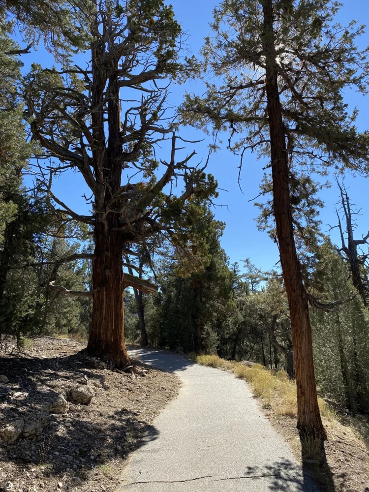
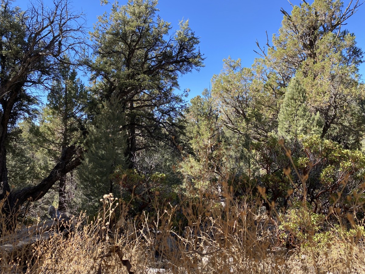
Morning view along the Cougar Crest Trail 1E22
Trail reference · not this route · Morning view along the Cougar Crest Trail 1E22. Real reference photograph of the location named above, not the listed trail or its route alignment. Follow this listing’s access and map information.
Morning view along the Cougar Crest Trail 1E22 — David Cruz - USDA Forest Service
Original photograph and rights record · Public domain in the United States — U.S. Forest Service work
Proportionally resized, orientation corrected if needed, and converted to WebP; no crop, AI generation or content changes.
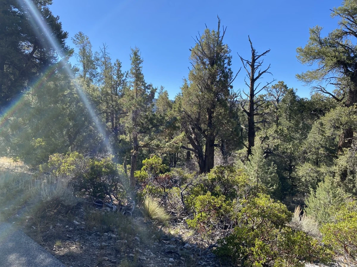
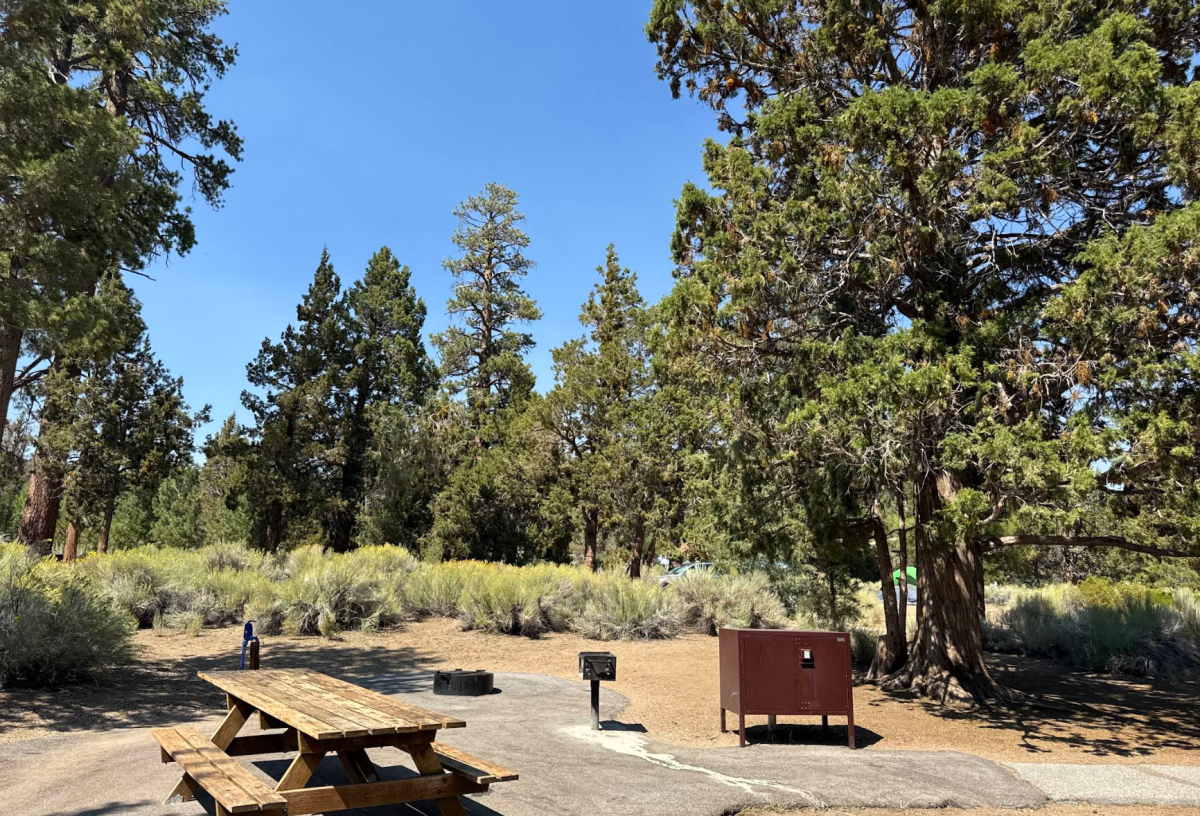
Sunrays on the Cougar Crest Trail 1E22
Trail reference · not this route · Sunrays on the Cougar Crest Trail 1E22. Real reference photograph of the location named above, not the listed trail or its route alignment. Follow this listing’s access and map information.
Sunrays on the Cougar Crest Trail 1E22 — David Cruz - USDA Forest Service
Original photograph and rights record · Public domain in the United States — U.S. Forest Service work
Proportionally resized, orientation corrected if needed, and converted to WebP; no crop, AI generation or content changes.
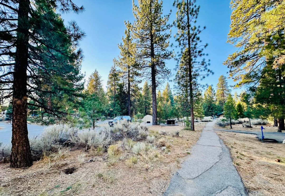
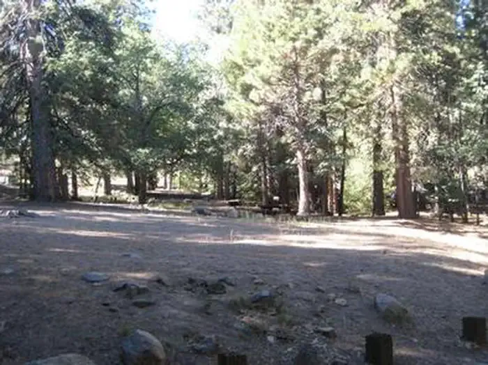
Serrano Campground - Fall 2025
Trail reference · not this route · Serrano Campground - Fall 2025. Real reference photograph of the location named above, not the listed trail or its route alignment. Follow this listing’s access and map information.
Serrano Campground - Fall 2025 — Forest Service
Original photograph and rights record · Public domain in the United States — U.S. Forest Service work
Proportionally resized, orientation corrected if needed, and converted to WebP; no crop, AI generation or content changes.
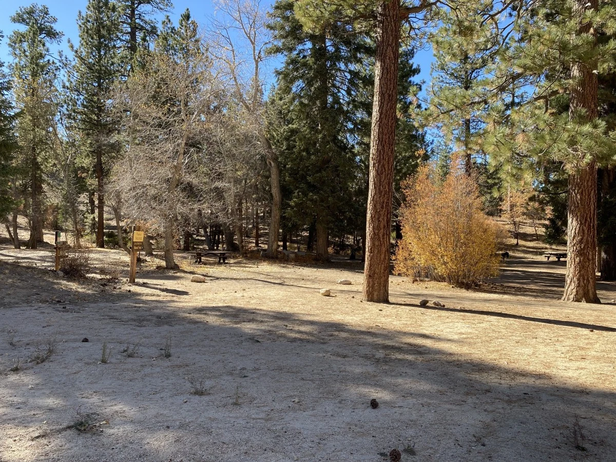
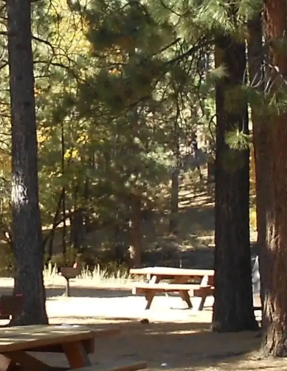
View of the start of Pine Knot Trail 1E01 located in the back of the Aspen Glen Picnic Area
Trail reference · not this route · View of the start of Pine Knot Trail 1E01 located in the back of the Aspen Glen Picnic Area. Real reference photograph of the location named above, not the listed trail or its route alignment. Follow this listing’s access and map information.
View of the start of Pine Knot Trail 1E01 located in the back of the Aspen Glen Picnic Area — David Cruz - USDA Forest Service
Original photograph and rights record · Public domain in the United States — U.S. Forest Service work
Proportionally resized, orientation corrected if needed, and converted to WebP; no crop, AI generation or content changes.
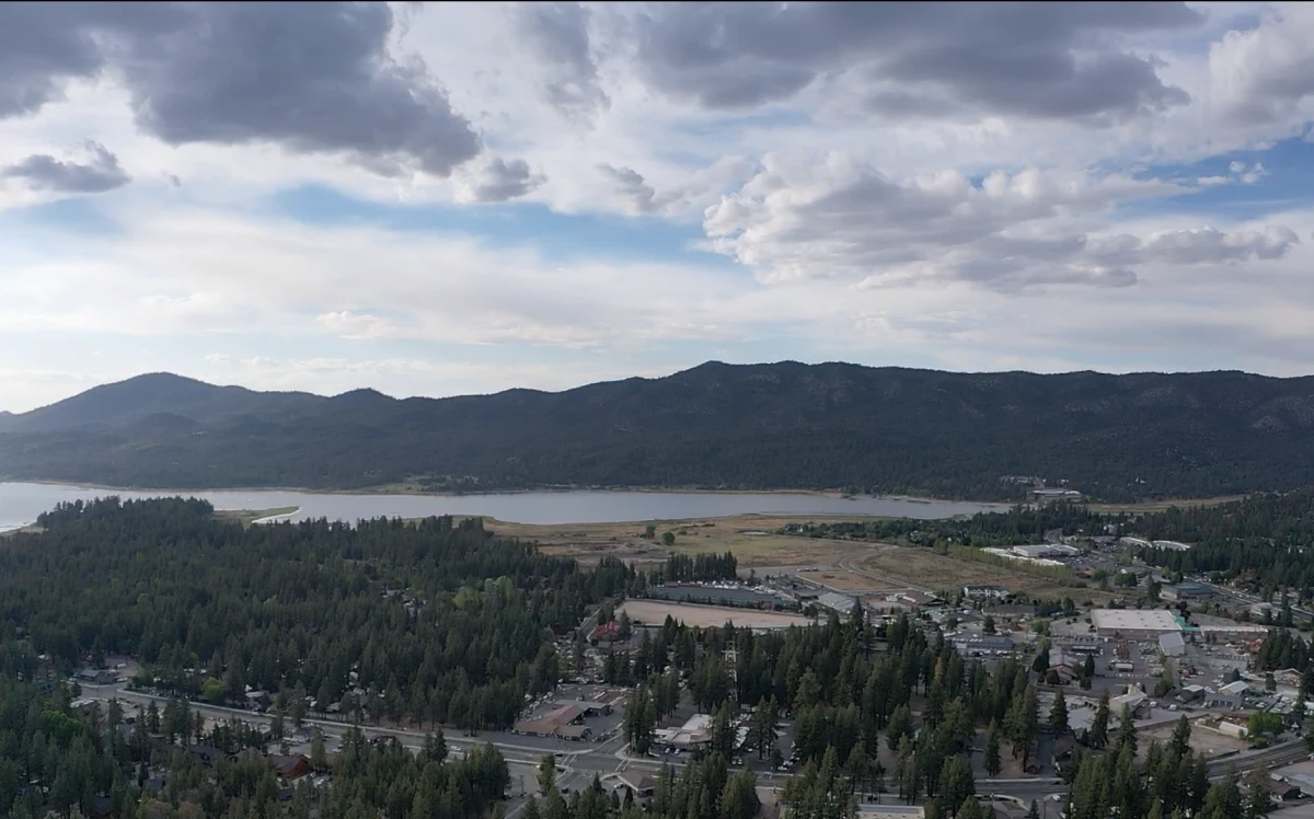
View from Snow Summit overlooking the Pineknot Family Campground
Trail reference · not this route · View from Snow Summit overlooking the Pineknot Family Campground. Real reference photograph of the location named above, not the listed trail or its route alignment. Follow this listing’s access and map information.
View from Snow Summit overlooking the Pineknot Family Campground — Forest Service
Original photograph and rights record · Public domain in the United States — U.S. Forest Service work
Proportionally resized, orientation corrected if needed, and converted to WebP; no crop, AI generation or content changes.
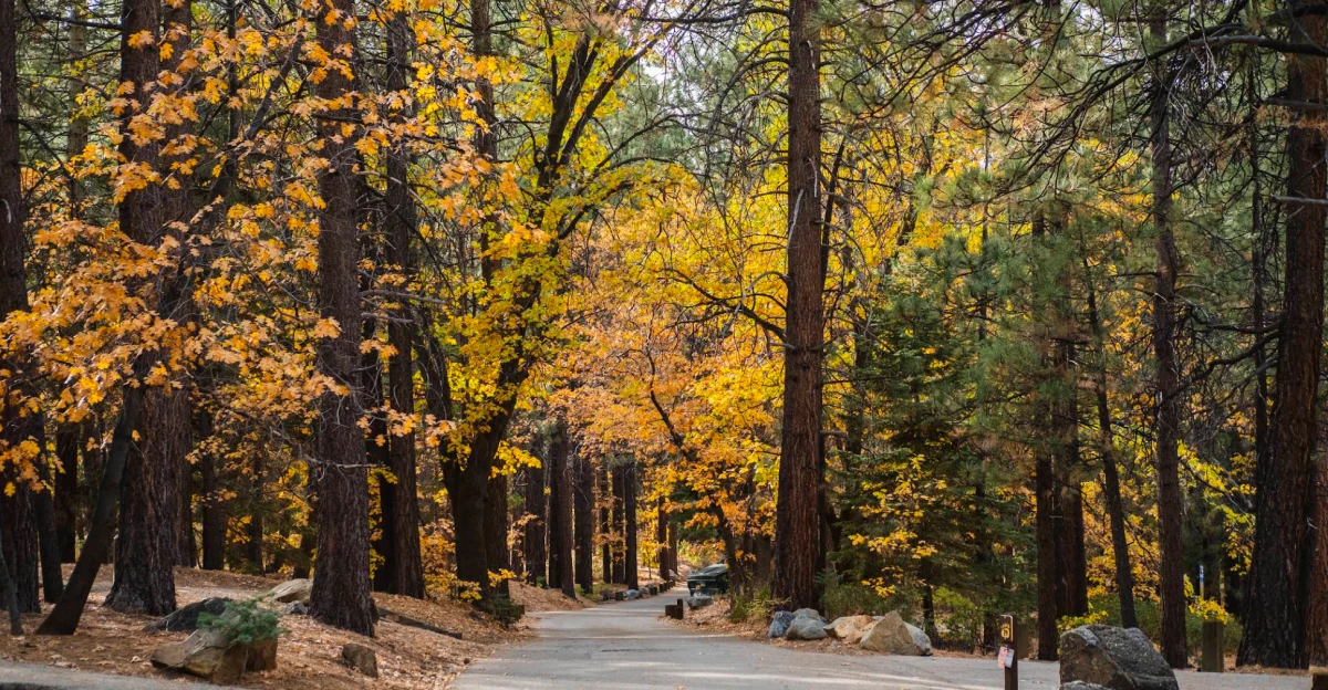
View of Pineknot Family Campground in autumn
Trail reference · not this route · View of Pineknot Family Campground in autumn. Real reference photograph of the location named above, not the listed trail or its route alignment. Follow this listing’s access and map information.
View of Pineknot Family Campground in autumn — Forest Service
Original photograph and rights record · Public domain in the United States — U.S. Forest Service work
Proportionally resized, orientation corrected if needed, and converted to WebP; no crop, AI generation or content changes.
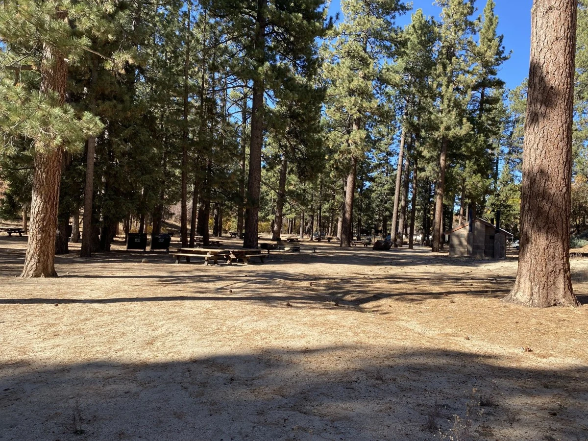
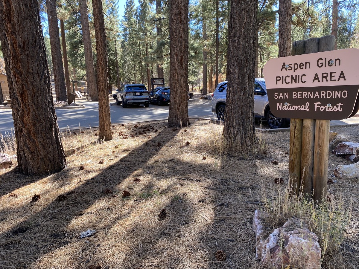
View of the Aspen Glen Picnic Area
Trail reference · not this route · View of the Aspen Glen Picnic Area. Real reference photograph of the location named above, not the listed trail or its route alignment. Follow this listing’s access and map information.
View of the Aspen Glen Picnic Area — David Cruz - USDA Forest Service
Original photograph and rights record · Public domain in the United States — U.S. Forest Service work
Proportionally resized, orientation corrected if needed, and converted to WebP; no crop, AI generation or content changes.
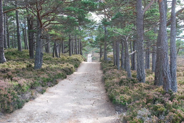
Track to Glen Einich - geograph.org.uk - 1011041.jpg
Trail reference · not this route · Track to Glen Einich The long and sometimes straight track to Glen Einich, passes through remnants of the old Caledonian Pine forest.. Real reference photograph of the location named above, not the listed trail or its route alignment. Follow this listing’s access and map information.
Track to Glen Einich - geograph.org.uk - 1011041.jpg — jeff collins
Original photograph and rights record · CC BY-SA 2.0
Wikimedia-provided resized rendition; proportionally resized, orientation corrected if needed, and converted to WebP; no crop, AI generation or content changes. The resized photograph is shared under the same CC BY-SA 2.0 license.
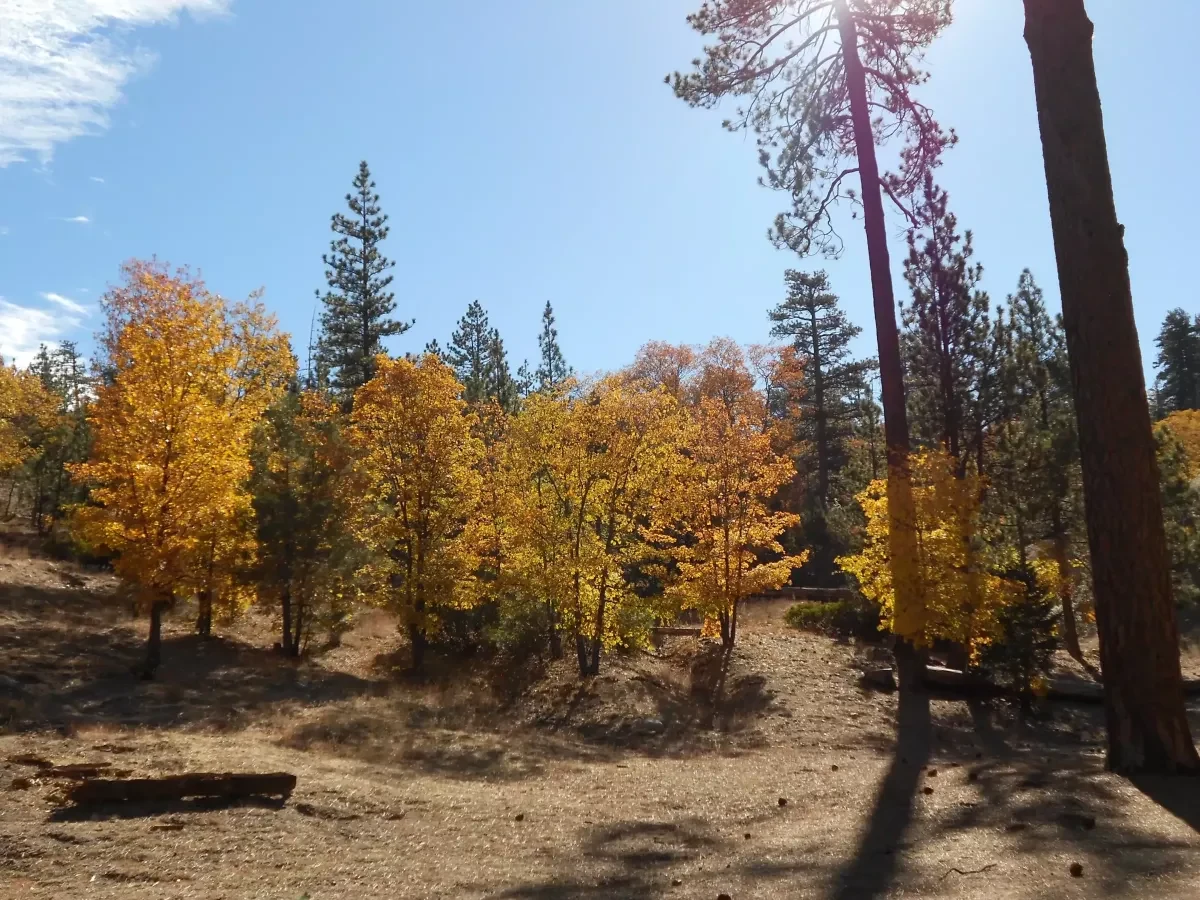
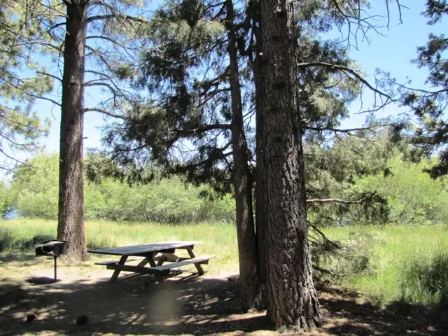
Aspen Glen Picnic Area 4
Trail reference · not this route · Aspen Glen Picnic Area 4. Real reference photograph of the location named above, not the listed trail or its route alignment. Follow this listing’s access and map information.
Aspen Glen Picnic Area 4 — Forest Service
Original photograph and rights record · Public domain in the United States — U.S. Forest Service work
Proportionally resized, orientation corrected if needed, and converted to WebP; no crop, AI generation or content changes.
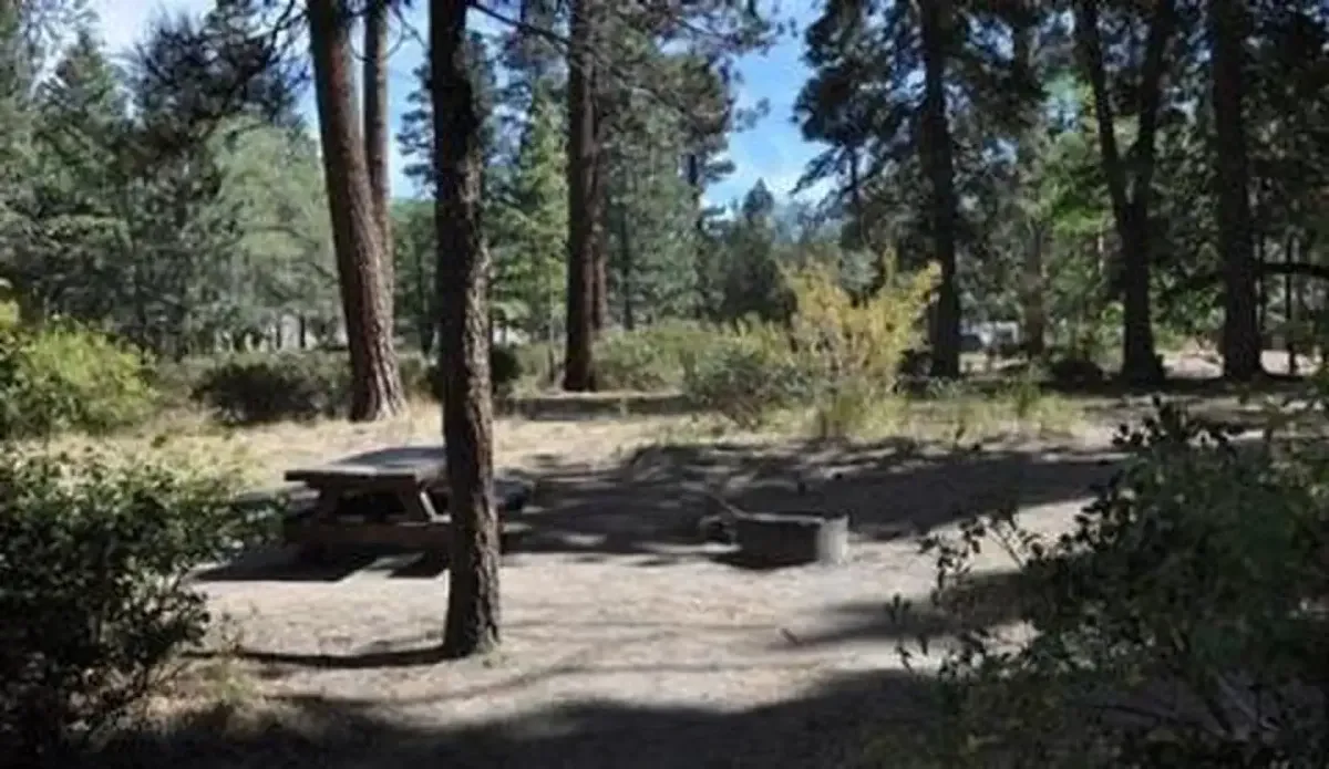
Shaded picnic site with fire ring at Hanna Flats Campground
Trail reference · not this route · Shaded picnic site with fire ring at Hanna Flats Campground. Real reference photograph of the location named above, not the listed trail or its route alignment. Follow this listing’s access and map information.
Shaded picnic site with fire ring at Hanna Flats Campground — Forest Service
Original photograph and rights record · Public domain in the United States — U.S. Forest Service work
Proportionally resized, orientation corrected if needed, and converted to WebP; no crop, AI generation or content changes.
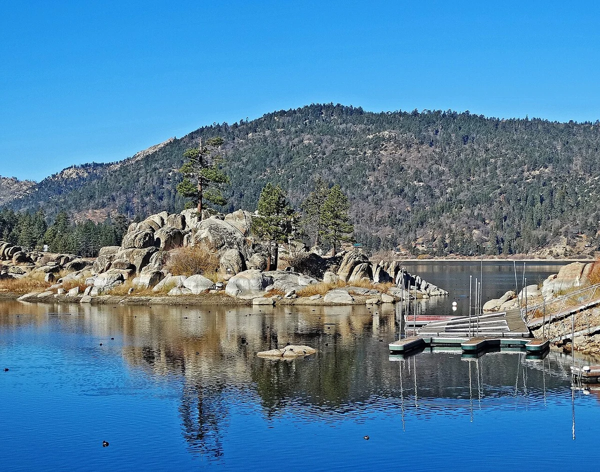
Boulder Bay, Big Bear Lake, CA 12-14a (15799115419).jpg
Boulder Bay archive · not current conditions · (1 in a multiple picture album)
Boulder Bay is one of the most photogenic areas on Big Bear Lake, especially in the winter when the boats are in storage. This island is a little piece of Terra firma with its own mini forest.. Real archive photograph; not evidence of current access, water levels or operating conditions. This photograph shows Boulder Bay.
Boulder Bay, Big Bear Lake, CA 12-14a (15799115419).jpg — inkknife_2000 (7.5 million views +)
Original photograph and rights record · CC BY-SA 2.0
Wikimedia-provided resized rendition; proportionally resized, orientation corrected if needed, and converted to WebP; no crop, AI generation or content changes. The resized photograph is shared under the same CC BY-SA 2.0 license.
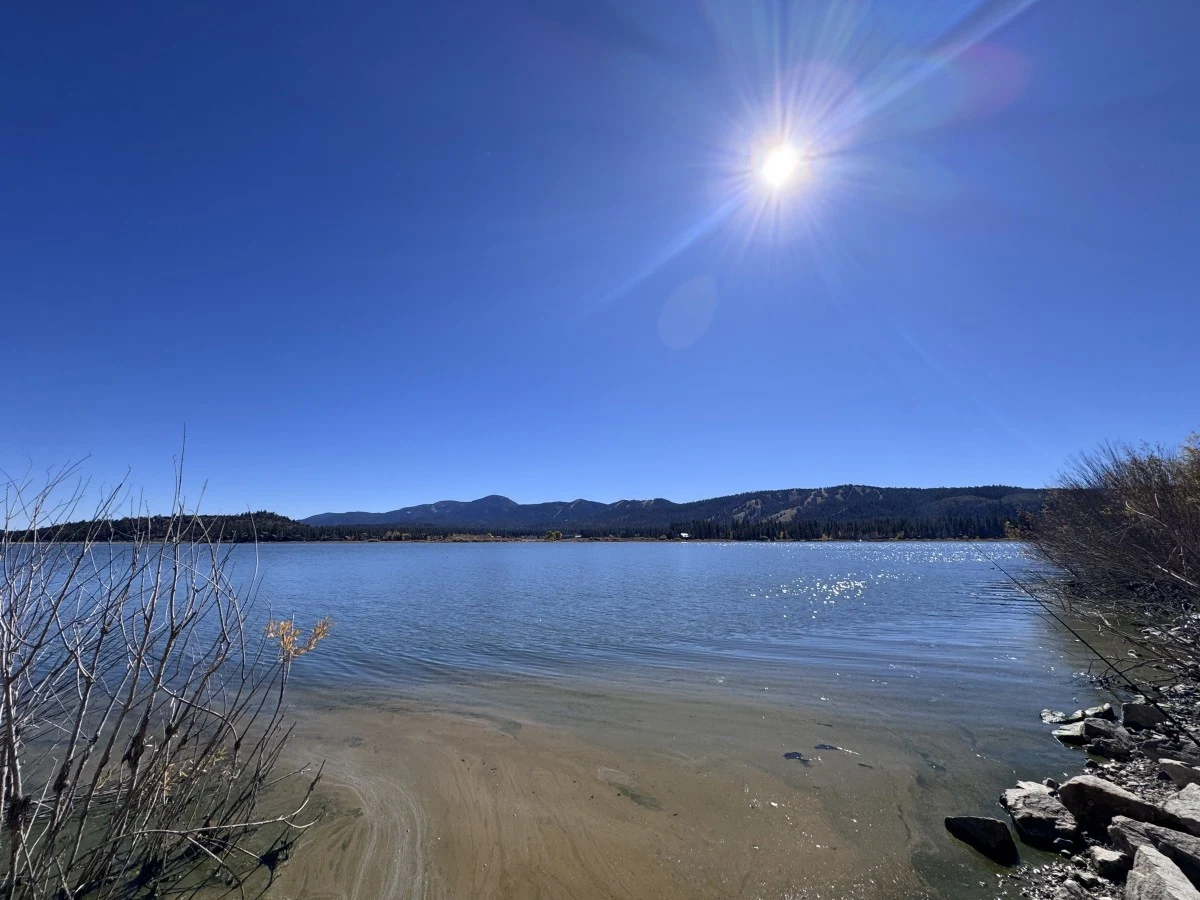
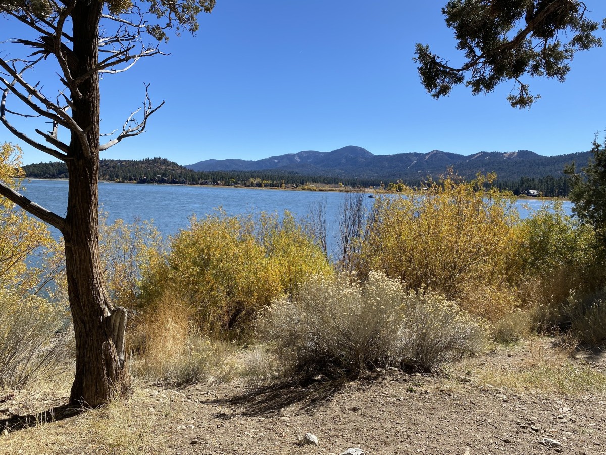
Scenic view of Big Bear Lake from the shore of the Juniper Point Picnic Area
Area reference · not this park · Scenic view of Big Bear Lake from the shore of the Juniper Point Picnic Area. Real archive photograph; not evidence of current access, water levels or operating conditions. Related reference only; it does not show this exact facility, fishing access point or advertised area.
Scenic view of Big Bear Lake from the shore of the Juniper Point Picnic Area — Jonar Rodrigo - USDA Forest Service
Original photograph and rights record · Public domain in the United States — U.S. Forest Service work
Proportionally resized, orientation corrected if needed, and converted to WebP; no crop, AI generation or content changes.
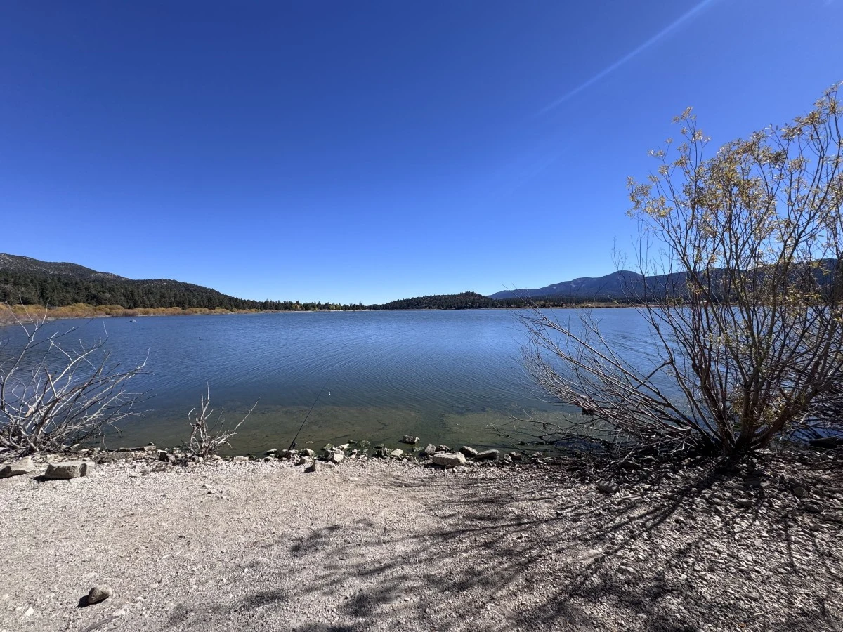
Scenic view of Big Bear Lake from the shores of the Juniper Point Picnic Area
Area reference · not this park · Scenic view of Big Bear Lake from the shores of the Juniper Point Picnic Area. Real archive photograph; not evidence of current access, water levels or operating conditions. Related reference only; it does not show this exact facility, fishing access point or advertised area.
Scenic view of Big Bear Lake from the shores of the Juniper Point Picnic Area — Jonar Rodrigo - USDA Forest Service
Original photograph and rights record · Public domain in the United States — U.S. Forest Service work
Proportionally resized, orientation corrected if needed, and converted to WebP; no crop, AI generation or content changes.
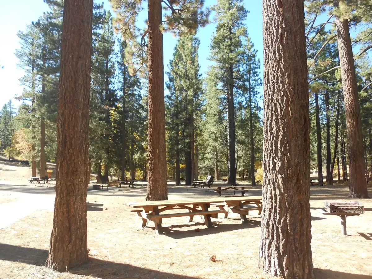
Aspen Glen Picnic Area 2
Area reference · not this park · Aspen Glen Picnic Area 2. Real archive photograph; not evidence of current access, water levels or operating conditions. Related reference only; it does not show this exact facility, fishing access point or advertised area.
Aspen Glen Picnic Area 2 — Forest Service
Original photograph and rights record · Public domain in the United States — U.S. Forest Service work
Proportionally resized, orientation corrected if needed, and converted to WebP; no crop, AI generation or content changes.
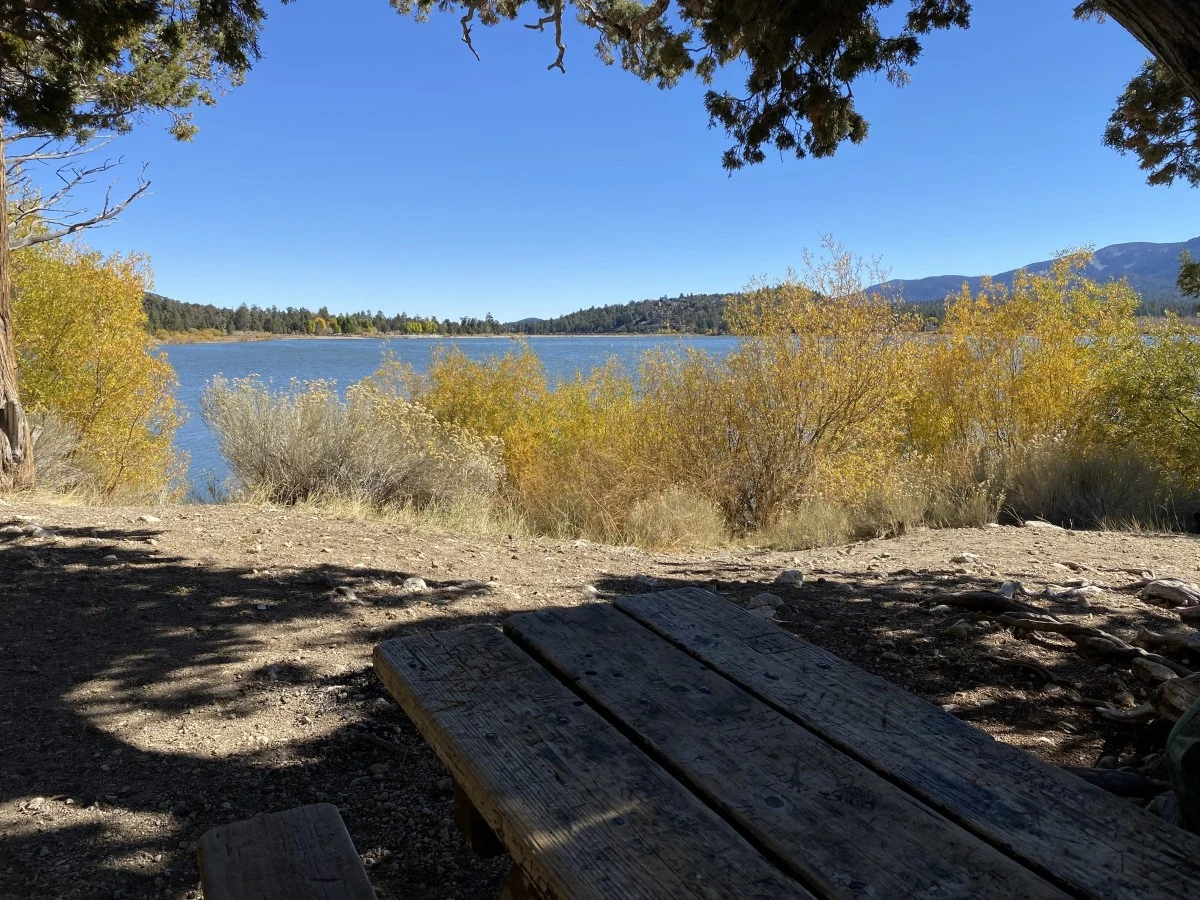
View of Big Bear Lake from one of the picnic tables of the Juniper Point Picnic Area
Area reference · not this park · View of Big Bear Lake from one of the picnic tables of the Juniper Point Picnic Area. Real archive photograph; not evidence of current access, water levels or operating conditions. Related reference only; it does not show this exact facility, fishing access point or advertised area.
View of Big Bear Lake from one of the picnic tables of the Juniper Point Picnic Area — David Cruz - USDA Forest Service
Original photograph and rights record · Public domain in the United States — U.S. Forest Service work
Proportionally resized, orientation corrected if needed, and converted to WebP; no crop, AI generation or content changes.
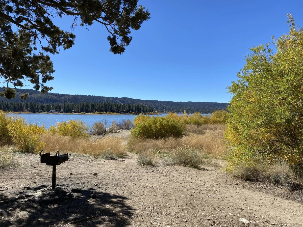
Fall view of Big Bear Lake from the Juniper Point Picnic Area
Area reference · not this park · Fall view of Big Bear Lake from the Juniper Point Picnic Area. Real archive photograph; not evidence of current access, water levels or operating conditions. Related reference only; it does not show this exact facility, fishing access point or advertised area.
Fall view of Big Bear Lake from the Juniper Point Picnic Area — David Cruz - USDA Forest Service
Original photograph and rights record · Public domain in the United States — U.S. Forest Service work
Proportionally resized, orientation corrected if needed, and converted to WebP; no crop, AI generation or content changes.
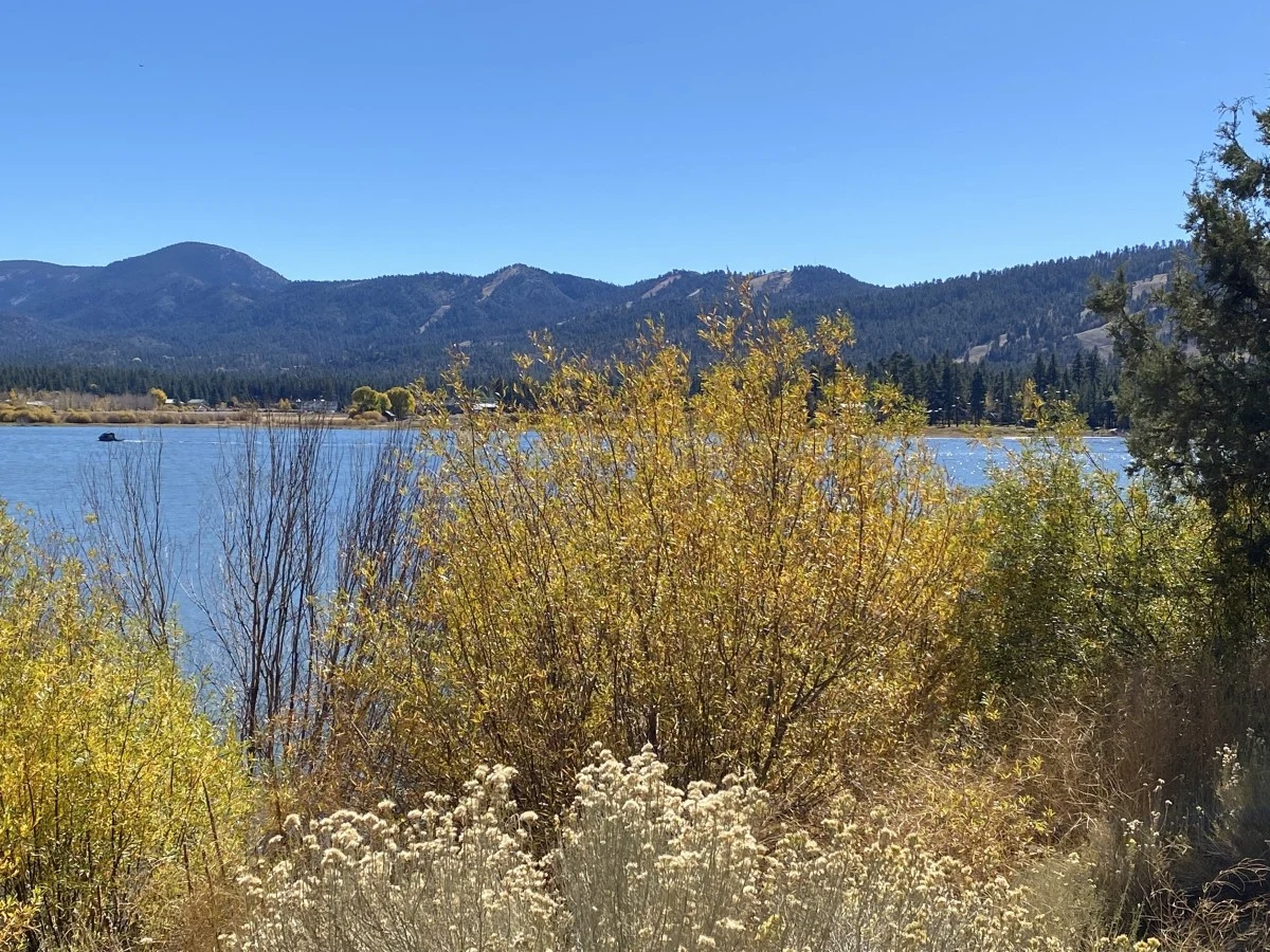
Scenic view of Big Bear Lake from the Juniper Point Picnic Area
Area reference · not this park · Scenic view of Big Bear Lake from the Juniper Point Picnic Area. Real archive photograph; not evidence of current access, water levels or operating conditions. Related reference only; it does not show this exact facility, fishing access point or advertised area.
Scenic view of Big Bear Lake from the Juniper Point Picnic Area — David Cruz - USDA Forest Service
Original photograph and rights record · Public domain in the United States — U.S. Forest Service work
Proportionally resized, orientation corrected if needed, and converted to WebP; no crop, AI generation or content changes.
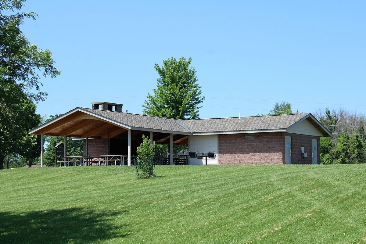
Picnic shelter - West Lake Park 01.jpg
Area reference · not this park · West Lake Park in Scott County, Iowa.. Real archive photograph; not evidence of current access, water levels or operating conditions. Related reference only; it does not show this exact facility, fishing access point or advertised area.
Picnic shelter - West Lake Park 01.jpg — Farragutful
Original photograph and rights record · CC BY-SA 4.0
Wikimedia-provided resized rendition; proportionally resized, orientation corrected if needed, and converted to WebP; no crop, AI generation or content changes. The resized photograph is shared under the same CC BY-SA 4.0 license.
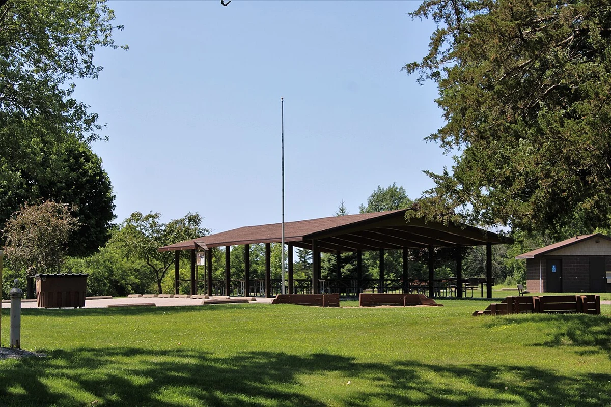
Picnic shelter - West Lake Park 02.jpg
Area reference · not this park · West Lake Park in Scott County, Iowa.. Real archive photograph; not evidence of current access, water levels or operating conditions. Related reference only; it does not show this exact facility, fishing access point or advertised area.
Picnic shelter - West Lake Park 02.jpg — Farragutful
Original photograph and rights record · CC BY-SA 4.0
Wikimedia-provided resized rendition; proportionally resized, orientation corrected if needed, and converted to WebP; no crop, AI generation or content changes. The resized photograph is shared under the same CC BY-SA 4.0 license.
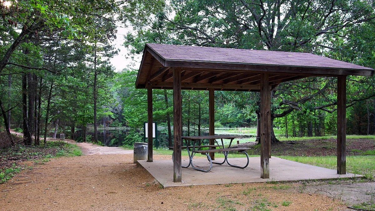
Picnic Shelter Lake Bob Sandlin State Park Texas 2023.jpg
Area reference · not this park · A picnic shelter at the trout pond in Lake Bob Sandlin State Park, Texas, United States.. Real archive photograph; not evidence of current access, water levels or operating conditions. Related reference only; it does not show this exact facility, fishing access point or advertised area.
Picnic Shelter Lake Bob Sandlin State Park Texas 2023.jpg — Larry D. Moore
Original photograph and rights record · CC BY 4.0
Wikimedia-provided resized rendition; proportionally resized, orientation corrected if needed, and converted to WebP; no crop, AI generation or content changes.
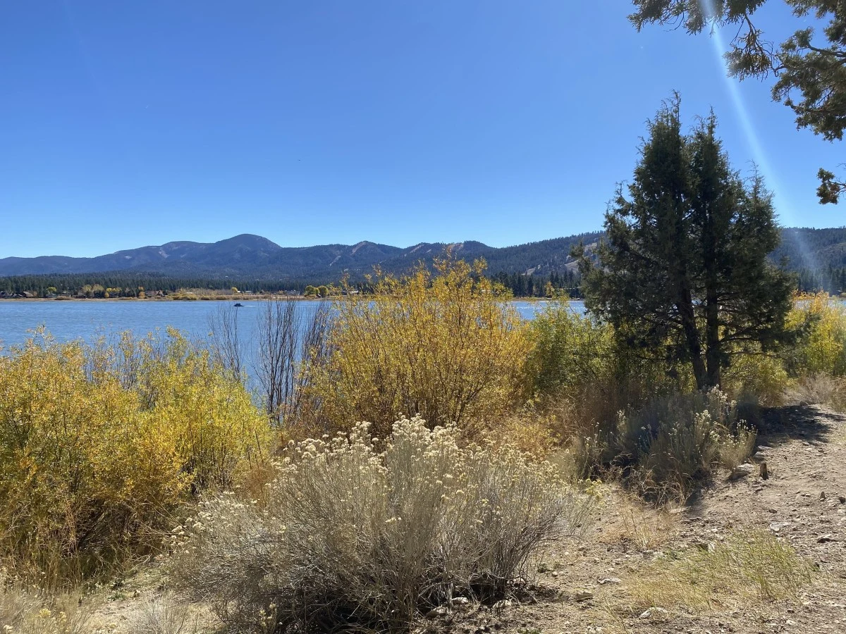
Scenic view of Big Bear Lake from the Juniper Point Picnic Area
Area reference · not this park · Scenic view of Big Bear Lake from the Juniper Point Picnic Area. Real archive photograph; not evidence of current access, water levels or operating conditions. Related reference only; it does not show this exact facility, fishing access point or advertised area.
Scenic view of Big Bear Lake from the Juniper Point Picnic Area — David Cruz - USDA Forest Service
Original photograph and rights record · Public domain in the United States — U.S. Forest Service work
Proportionally resized, orientation corrected if needed, and converted to WebP; no crop, AI generation or content changes.
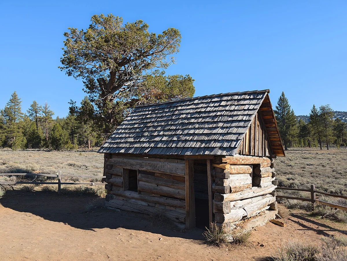
Gold Fever Trail, Big Bear, California - 53744969333.jpg
Area reference · not this park · Take a journey into the 1860s when eager prospectors from across the country - and some internationals - flocked to Big Bear Valley in search of the 'mother lode'. Welcome to Gold Rush country!
The historic Gold Fever Trail is a self-guided driving tour through Holcomb Valley, the center of Big Bear's gold rush. Discover the ruins and remains of Belleville, the once lively miners' town. With a little imagination you can picture the old-time miners with their gold pans in the creeks, their stamp mills in the field, their rowdy saloons and their wild nights. It was truly the Wild West.
source: www.bigbear.com/blog/explore-gold-fever-trail/. Real archive photograph; not evidence of current access, water levels or operating conditions. Related reference only; it does not show this exact facility, fishing access point or advertised area.
Gold Fever Trail, Big Bear, California - 53744969333.jpg — RuggyBearLA
Original photograph and rights record · CC BY 2.0
Wikimedia-provided resized rendition; proportionally resized, orientation corrected if needed, and converted to WebP; no crop, AI generation or content changes.
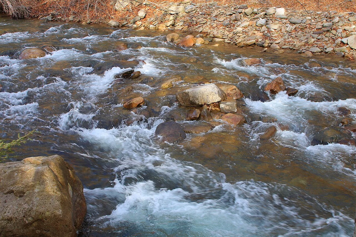
Rapids on West Branch Fishing Creek 1.JPG
Area reference · not this park · Rapids on West Branch Fishing Creek in its lower reaches. Real archive photograph; not evidence of current access, water levels or operating conditions. Related reference only; it does not show this exact facility, fishing access point or advertised area.
Rapids on West Branch Fishing Creek 1.JPG — Jakec
Original photograph and rights record · CC BY-SA 4.0
Wikimedia-provided resized rendition; proportionally resized, orientation corrected if needed, and converted to WebP; no crop, AI generation or content changes. The resized photograph is shared under the same CC BY-SA 4.0 license.
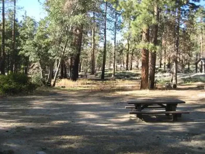
Shaded picnic site at Hanna Flats Campground
Hanna Flat archive · not current conditions · Shaded picnic site at Hanna Flats Campground. Related real photograph for Hanna Flat Family Campground; it does not show this specific listing, event, provider or route.
Shaded picnic site at Hanna Flats Campground — Forest Service
Original photograph and rights record · Public domain in the United States — U.S. Forest Service work
Proportionally resized, orientation corrected if needed, and converted to WebP; no crop, AI generation or content changes.
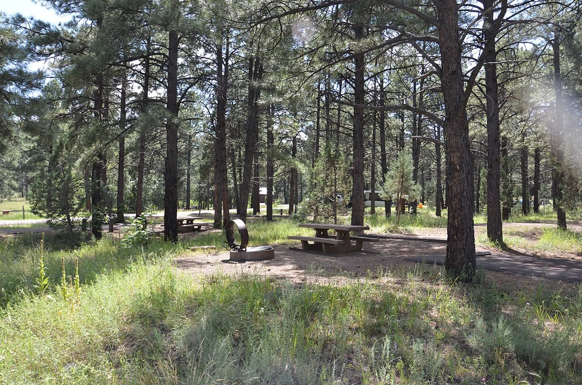
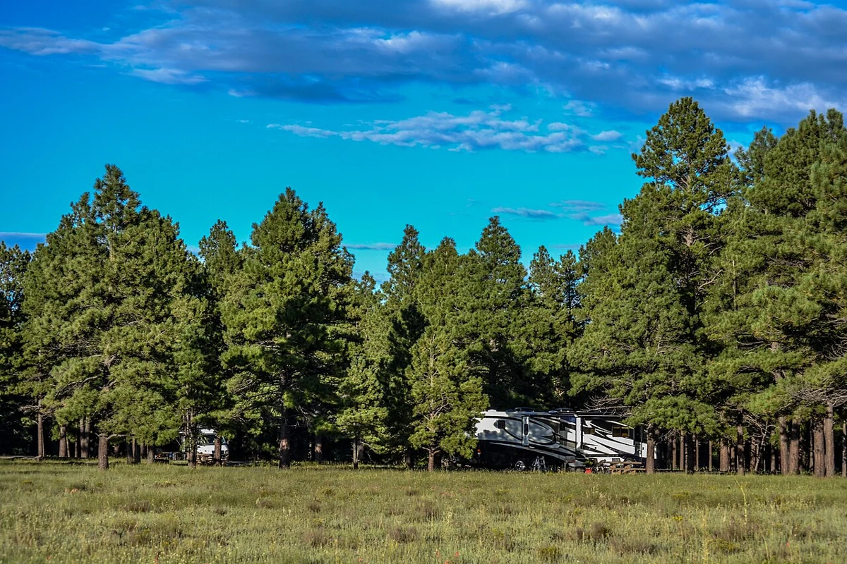
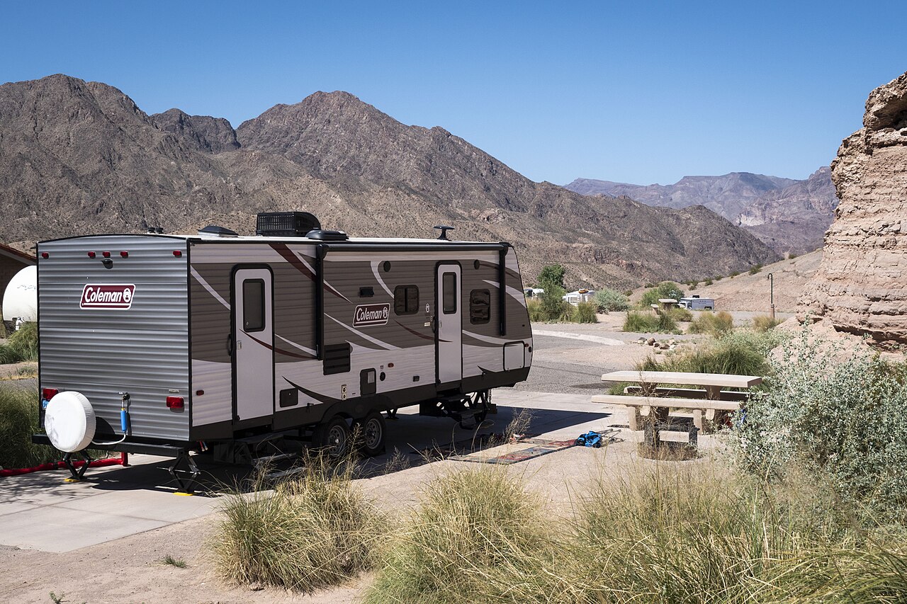
20150821 Prescott NF, AZ R3 Potato Patch Campground 008 (US Forest Service Photo) (48655629646).jpg
Camping reference · not this property · Located in the cool pines in the Mingus Mountain Recreation Area, this campground offers cool summertime temperatures and easy access via a paved and winding mountain road. Nearby are Woodchute Wilderness, Woodchute Trail #102, and the historic mining town of Jerome lies 8 miles northeast on U.S. Highway 89A.. Related real photograph for Holcomb Valley Campground; it does not show this specific listing, event, provider or route.
20150821 Prescott NF, AZ R3 Potato Patch Campground 008 (US Forest Service Photo) (48655629646).jpg — Prescott NF
Original photograph and rights record · Public domain
Wikimedia-provided resized rendition; proportionally resized, orientation corrected if needed, and converted to WebP; no crop, AI generation or content changes.
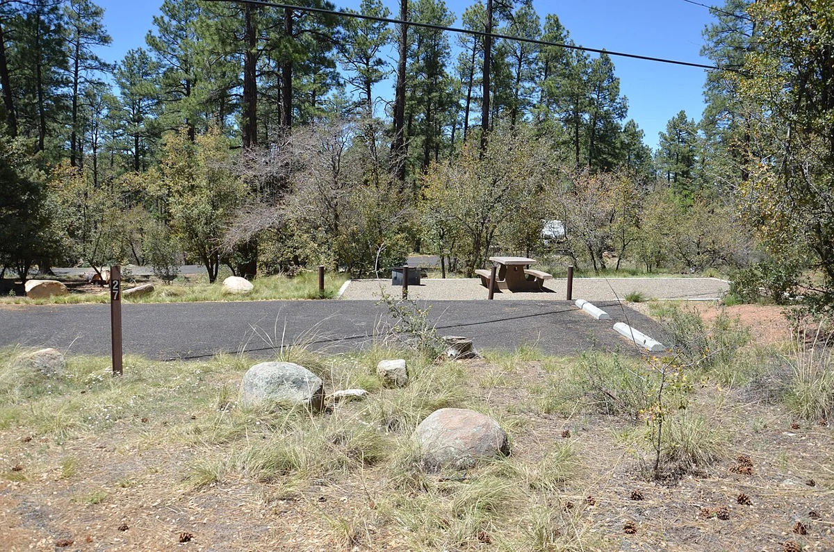
20160511 Prescott NF, AZ R3 White Spar Campground 001 (US Forest Service Photo) (48655154543).jpg
Camping reference · not this property · Located in the ponderosa pine forest at an elevation of 5,700 feet along Highway #89, this 61-site campground is within an easy drive from the city of Prescott. The 52 camp sites, 12 oof which are open year-round, are generally large enough to accommodate most recreational vehicles (not exceeding 40 feet in length).. Related real photograph for Big Bear Yellow Post Sites; it does not show this specific listing, event, provider or route.
20160511 Prescott NF, AZ R3 White Spar Campground 001 (US Forest Service Photo) (48655154543).jpg — Prescott NF
Original photograph and rights record · Public domain
Wikimedia-provided resized rendition; proportionally resized, orientation corrected if needed, and converted to WebP; no crop, AI generation or content changes.
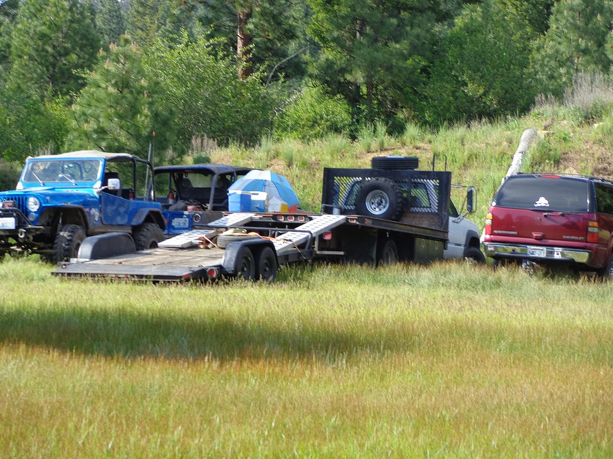
Liberty Recreation Site (32313506264).jpg
Camping reference · not this property · Nestled in the beautiful Cascade Mountains near the historic town of Liberty, BLM’s Liberty Recreation Site offers visitors an opportunity to camp near sparkling Williams Creek. Liberty is popular with visitors using the nearby U.S. Forest Service (USFS) lands and motorized trail system. Summer weekends are busy, with visitors filling most of the 15 campsites. Snow closes the gravel roads accessing the site, but the USFS trails near the area are popular for snowmobiles.
Know Before You Go:
The Liberty Recreation Site is open YEAR ROUND but snow will close access.
The site has 15 campsites and two vault toilets.
No Fees.
Please dispose all pet waste in trash receptacles.
Hookups and potable water are not available.
Please pack out all trash and leave no trace.
Cellular phone reception is limited.
Directions:
In Kittitas County, drive 12 miles south of Swauk Pass on Hwy. 97. Take the Liberty Road one mile, turn right onto Pine Gulch Road (NF 9726), and the BLM site is on the right.
Point of Interest:
With the discovery of gold in nearby Swauk Creek, Liberty was one of several mining camps that sprang up in the 1870s. The town became Liberty in 1916 and it is the oldest mining town site in Washington State.
Contact:
Wenatchee Field Office
915 N. Walla Walla Ave.
Wenatchee, WA 98801
509-665-2100
BLM_OR_SP_Mail@blm.gov
www.blm.gov/visit. Related real photograph for Big Bear Shores RV Resort; it does not show this specific listing, event, provider or route.
Liberty Recreation Site (32313506264).jpg — BLM Oregon & Washington
Original photograph and rights record · Public domain
Wikimedia-provided resized rendition; proportionally resized, orientation corrected if needed, and converted to WebP; no crop, AI generation or content changes.
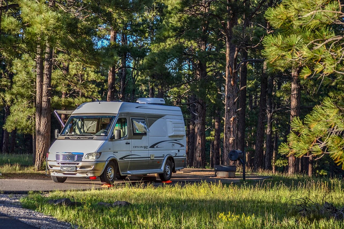
Pine Grove Campground (36931010524).jpg
Camping reference · not this property · Nearby Upper and Lower Lake Mary, Ashurst, Marshall and Kinnikinick lakes serve as a recreational focus for this campground. All are stocked with fish including trout, bass, and channel catfish. Upper Lake Mary is popular with power boaters (there's no motor limit), and Ashurst attracts a following of windsurfers along with its anglers and boaters. Those whose interest in the out of doors goes beyond watersports might consider these sites for the wildlife watching they offer.
The lakes around these forested campgrounds are used as a stopover for migrating waterfowl, a wintering site for rare bald eagles, and a feeding ground for resident ospreys. The area is home to a considerable number of elk and mule deer, too.
Pinegrove Campground is spread out through a cool stand of pines bordered by high country meadows. Access to the campground is via a short spur off Forest Highway 3. Supplies are available at convenience stores along the highway and in Flagstaff, about 20 miles away. <a href="https://www.fs.usda.gov/recarea/coconino/recreation/camping-cabins/recarea/?recid=55024&actid=29" rel="nofollow">Learn more about the Pine Grove Campground, the Flagstaff Ranger District, and the Coconino National Forest.</a>. Related real photograph for Holloway's Marina & RV Park; it does not show this specific listing, event, provider or route.
Pine Grove Campground (36931010524).jpg — Coconino National Forest
Original photograph and rights record · Public domain
Wikimedia-provided resized rendition; proportionally resized, orientation corrected if needed, and converted to WebP; no crop, AI generation or content changes.

Liberty Recreation Site (33117290736).jpg
Camping reference · not this property · Nestled in the beautiful Cascade Mountains near the historic town of Liberty, BLM’s Liberty Recreation Site offers visitors an opportunity to camp near sparkling Williams Creek. Liberty is popular with visitors using the nearby U.S. Forest Service (USFS) lands and motorized trail system. Summer weekends are busy, with visitors filling most of the 15 campsites. Snow closes the gravel roads accessing the site, but the USFS trails near the area are popular for snowmobiles.
Know Before You Go:
The Liberty Recreation Site is open YEAR ROUND but snow will close access.
The site has 15 campsites and two vault toilets.
No Fees.
Please dispose all pet waste in trash receptacles.
Hookups and potable water are not available.
Please pack out all trash and leave no trace.
Cellular phone reception is limited.
Directions:
In Kittitas County, drive 12 miles south of Swauk Pass on Hwy. 97. Take the Liberty Road one mile, turn right onto Pine Gulch Road (NF 9726), and the BLM site is on the right.
Point of Interest:
With the discovery of gold in nearby Swauk Creek, Liberty was one of several mining camps that sprang up in the 1870s. The town became Liberty in 1916 and it is the oldest mining town site in Washington State.
Contact:
Wenatchee Field Office
915 N. Walla Walla Ave.
Wenatchee, WA 98801
509-665-2100
BLM_OR_SP_Mail@blm.gov
www.blm.gov/visit. Related real photograph for Lighthouse Trailer Resort & Marina; it does not show this specific listing, event, provider or route.
Liberty Recreation Site (33117290736).jpg — BLM Oregon & Washington
Original photograph and rights record · Public domain
Wikimedia-provided resized rendition; proportionally resized, orientation corrected if needed, and converted to WebP; no crop, AI generation or content changes.
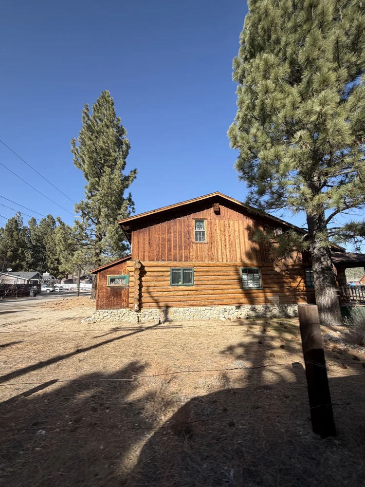
Big Bear California 06.jpg
Area reference · not this attraction · Ciudad en el sur de California. Se encuentra a orillas del lago Big Bear Lake. Es conocida por el complejo de esquí Bear Mountain,. Related real reference photograph; it does not show this specific attraction, its building, animals or offered activities.
Big Bear California 06.jpg — WendyAvilesR
Original photograph and rights record · CC BY-SA 4.0
Proportionally resized, orientation corrected if needed, and converted to WebP; no crop, AI generation or content changes. The resized photograph is shared under the same CC BY-SA 4.0 license.
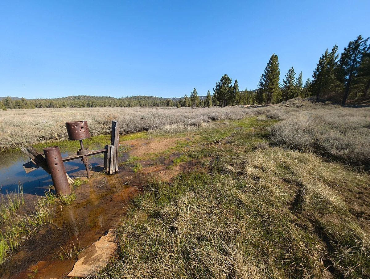
Gold Fever Trail, Big Bear, California - 53734769911.jpg
Area reference · not this attraction · Take a journey into the 1860s when eager prospectors from across the country - and some internationals - flocked to Big Bear Valley in search of the 'mother lode'. Welcome to Gold Rush country!
The historic Gold Fever Trail is a self-guided driving tour through Holcomb Valley, the center of Big Bear's gold rush. Discover the ruins and remains of Belleville, the once lively miners' town. With a little imagination you can picture the old-time miners with their gold pans in the creeks, their stamp mills in the field, their rowdy saloons and their wild nights. It was truly the Wild West.
source: www.bigbear.com/blog/explore-gold-fever-trail/. Related real reference photograph; it does not show this specific attraction, its building, animals or offered activities.
Gold Fever Trail, Big Bear, California - 53734769911.jpg — RuggyBearLA
Original photograph and rights record · CC BY 2.0
Wikimedia-provided resized rendition; proportionally resized, orientation corrected if needed, and converted to WebP; no crop, AI generation or content changes.
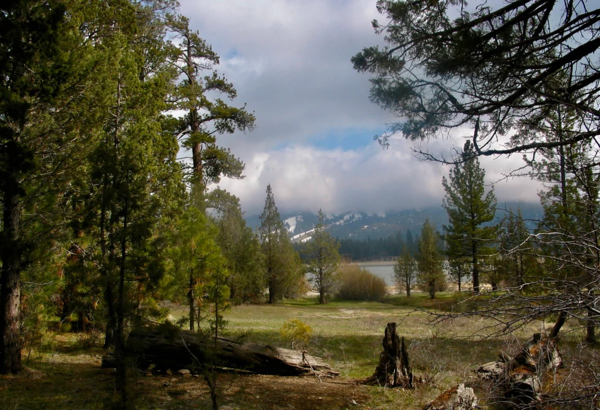
View of Snow Summit Ski Resort from the Serrano Campground
Snow Summit archive · not current conditions · View of Snow Summit Ski Resort from the Serrano Campground. Archive view of Snow Summit; not current conditions or proof of today’s operations.
View of Snow Summit Ski Resort from the Serrano Campground — Forest Service
Original photograph and rights record · Public domain in the United States — U.S. Forest Service work
Proportionally resized, orientation corrected if needed, and converted to WebP; no crop, AI generation or content changes.
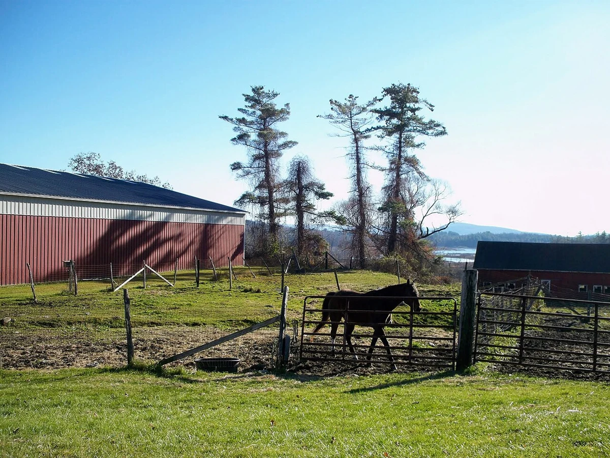
Brown Horse Pasture Undermountain Home Farm Equestrian Center.jpg
Area reference · not this attraction · Brown Horse at pasture Undermountain Home Farm and Equestrian Center Lenox, MA. Related real reference photograph; it does not show this specific attraction, its building, animals or offered activities.
Brown Horse Pasture Undermountain Home Farm Equestrian Center.jpg — EgorovaSvetlana
Original photograph and rights record · CC BY-SA 4.0
Wikimedia-provided resized rendition; proportionally resized, orientation corrected if needed, and converted to WebP; no crop, AI generation or content changes. The resized photograph is shared under the same CC BY-SA 4.0 license.
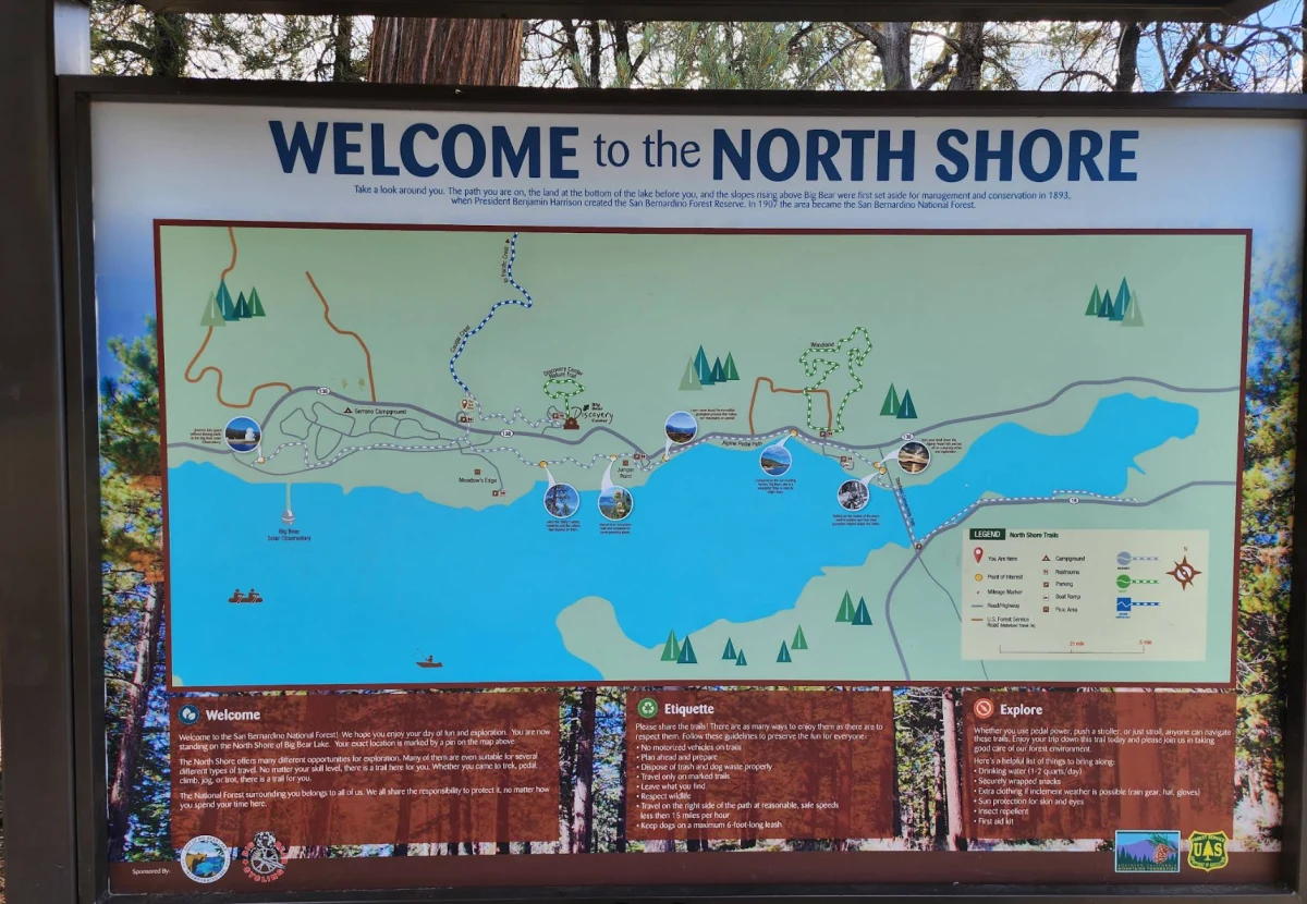
Welcome to the North Shore Kiosk from Serrano Campground
Area reference · not this attraction · Welcome to the North Shore Kiosk from Serrano Campground. Related real reference photograph; it does not show this specific attraction, its building, animals or offered activities.
Welcome to the North Shore Kiosk from Serrano Campground — Forest Service
Original photograph and rights record · Public domain in the United States — U.S. Forest Service work
Proportionally resized, orientation corrected if needed, and converted to WebP; no crop, AI generation or content changes.
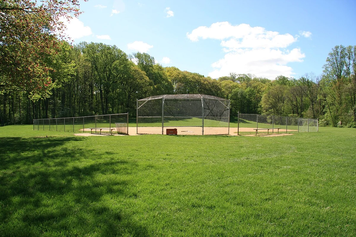
Baseball & Softball Field at Lewis Morris Park in Morris County, NJ - 1.jpg
Activity reference · not this provider · Baseball Field - Softball Field at Lewis Morris Park in Morris County, NJ. Photo taken for park profile on https://kidzet.com.. Related real photograph for Big Bear youth sports; it does not show this specific listing, event, provider or route.
Baseball & Softball Field at Lewis Morris Park in Morris County, NJ - 1.jpg — Kidzet
Original photograph and rights record · CC BY-SA 4.0
Wikimedia-provided resized rendition; proportionally resized, orientation corrected if needed, and converted to WebP; no crop, AI generation or content changes. The resized photograph is shared under the same CC BY-SA 4.0 license.
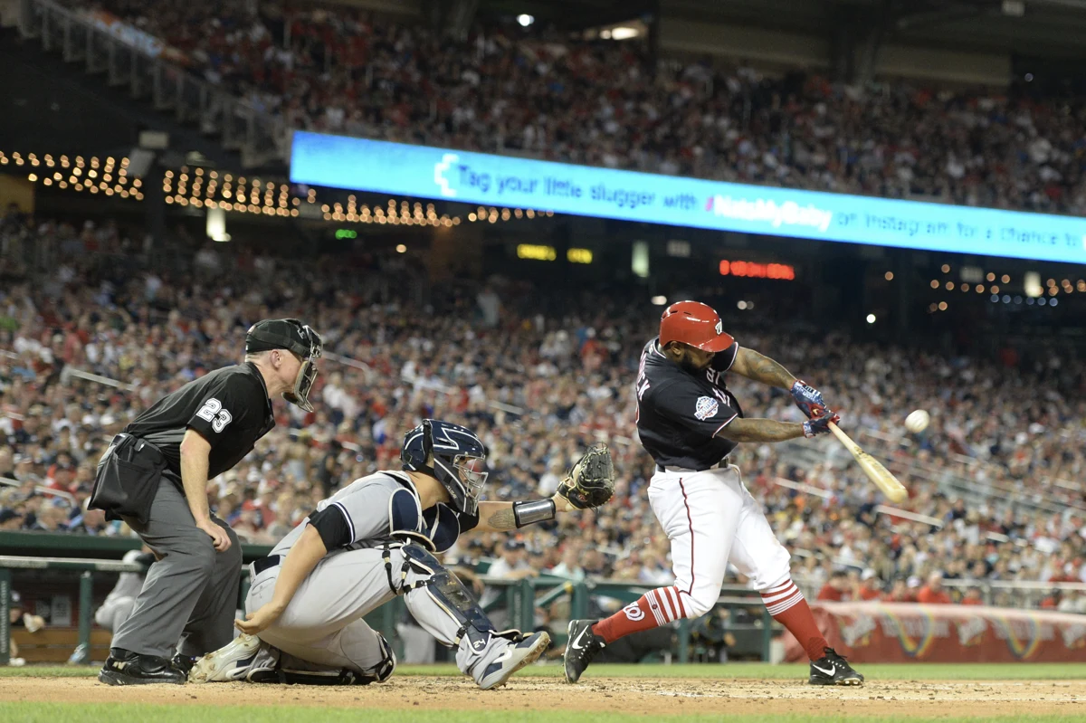
Dsc 3786 42095801452 o (50121659337).jpg
Activity reference · not this provider · All-Pro Reels. Related real photograph for Big Bear youth baseball & softball; it does not show this specific listing, event, provider or route.
Dsc 3786 42095801452 o (50121659337).jpg — All-Pro Reels from District of Columbia, USA
Original photograph and rights record · CC BY-SA 2.0
Proportionally resized, orientation corrected if needed, and converted to WebP; no crop, AI generation or content changes. The resized photograph is shared under the same CC BY-SA 2.0 license.
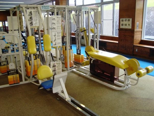
AIU Gym9.jpg
Activity reference · not this provider · AIU Gym9. Related real photograph for HATC fitness, yoga & Pilates; it does not show this specific listing, event, provider or route.
AIU Gym9.jpg — https://flickr.com/photos/hildgrim/
Original photograph and rights record · CC BY-SA 2.0
Wikimedia-provided resized rendition; proportionally resized, orientation corrected if needed, and converted to WebP; no crop, AI generation or content changes. The resized photograph is shared under the same CC BY-SA 2.0 license.
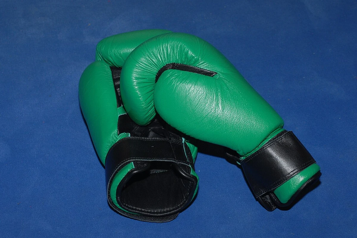
Boxhandschuhe 20071227.jpg
Activity reference · not this provider · Boxing gloves. Related real photograph for Bear Mountain Boxing; it does not show this specific listing, event, provider or route.
Boxhandschuhe 20071227.jpg — Ralf Berger
Original photograph and rights record · CC BY-SA 3.0
Wikimedia-provided resized rendition; proportionally resized, orientation corrected if needed, and converted to WebP; no crop, AI generation or content changes. The resized photograph is shared under the same CC BY-SA 3.0 license.
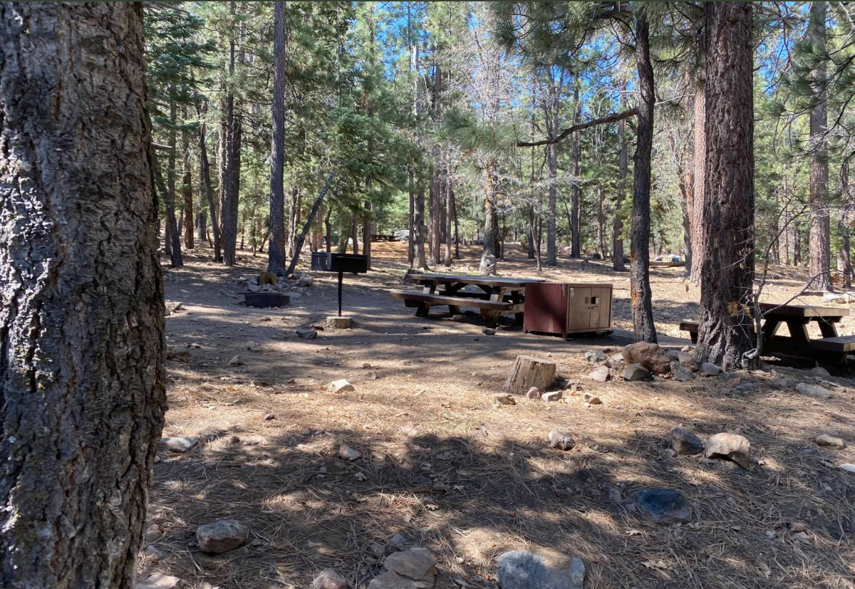
Pineknot Family Campground Picnic Site
Activity reference · not this provider · Pineknot Family Campground Picnic Site. Related real photograph for Big Bear Outdoor Collective & run clubs; it does not show this specific listing, event, provider or route.
Pineknot Family Campground Picnic Site — Forest Service
Original photograph and rights record · Public domain in the United States — U.S. Forest Service work
Proportionally resized, orientation corrected if needed, and converted to WebP; no crop, AI generation or content changes.
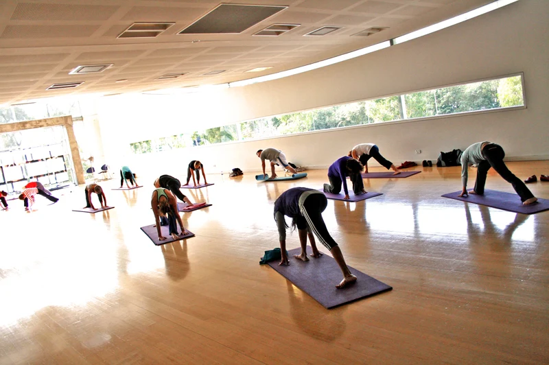
Yoga Class at a Gym3.JPG
Activity reference · not this provider · Yoga Class at a Gym. Related real photograph for Om Your Own Way Yoga; it does not show this specific listing, event, provider or route.
Yoga Class at a Gym3.JPG — www.localfitness.com.au
Original photograph and rights record · CC BY-SA 3.0
Wikimedia-provided resized rendition; proportionally resized, orientation corrected if needed, and converted to WebP; no crop, AI generation or content changes. The resized photograph is shared under the same CC BY-SA 3.0 license.
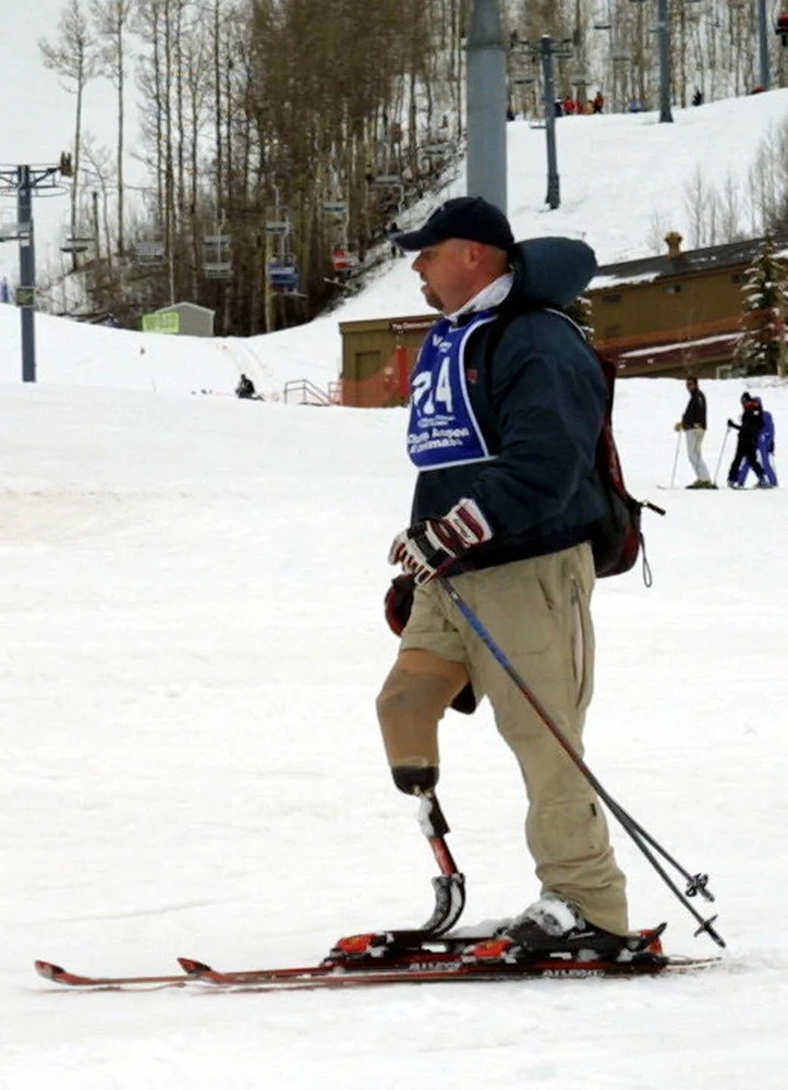
Sportsclinic0052004-04-12.jpg
Activity reference · not this provider · Discapacitado haciéndo ski, competencia en Colorado, 2004. Related real photograph for USARC adaptive outdoor sports; it does not show this specific listing, event, provider or route.
Sportsclinic0052004-04-12.jpg — Spc. Lorie Jewell
Original photograph and rights record · Public domain
Wikimedia-provided resized rendition; proportionally resized, orientation corrected if needed, and converted to WebP; no crop, AI generation or content changes.
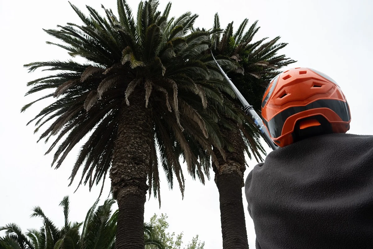
Tratamiento en palmeras para control de la plaga del picudo - 20250407dicimouyplr0009.jpg
Job reference · not this business · Tratamiento en palmeras para control de la plaga del picudo. Related real photograph for Pest Control Technician; it does not show this specific employer, staff or worksite.
Tratamiento en palmeras para control de la plaga del picudo - 20250407dicimouyplr0009.jpg — Pablo La Rosa
Original photograph and rights record · CC BY-SA 4.0
Wikimedia-provided resized rendition; proportionally resized, orientation corrected if needed, and converted to WebP; no crop, AI generation or content changes. The resized photograph is shared under the same CC BY-SA 4.0 license.
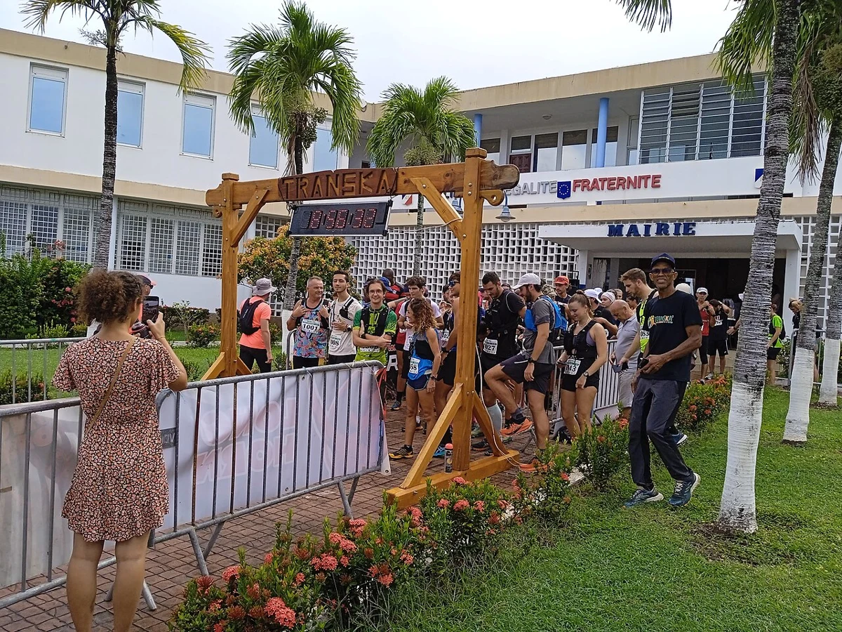
Départ de la Transkarukera 2025 à Bouillante.jpg
Event reference · not this event · Départ de la Transkarukera 2025 à Bouillante. Real thematic reference photograph, not this local event, its attendees, announced performers, vehicles, vendors or current conditions.
Départ de la Transkarukera 2025 à Bouillante.jpg — Enrevseluj
Original photograph and rights record · CC BY-SA 4.0
Wikimedia-provided resized rendition; proportionally resized, orientation corrected if needed, and converted to WebP; no crop, AI generation or content changes. The resized photograph is shared under the same CC BY-SA 4.0 license.
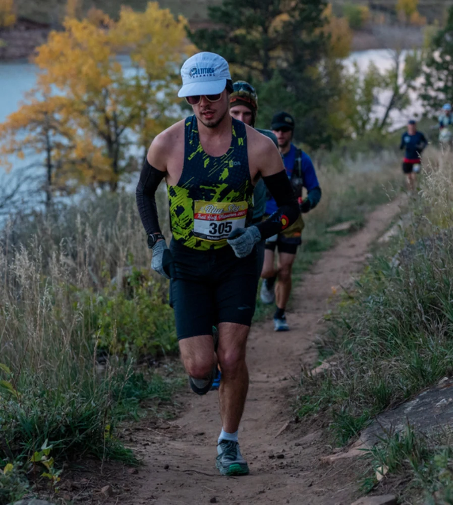
Warfield at Blue Sky Half Marathon.png
Event reference · not this event · Warfield at Blue Sky Half Marathon 2025. Real thematic reference photograph, not this local event, its attendees, announced performers, vehicles, vendors or current conditions.
Warfield at Blue Sky Half Marathon.png — Moonsmagoons
Original photograph and rights record · CC0
Wikimedia-provided resized rendition; proportionally resized, orientation corrected if needed, and converted to WebP; no crop, AI generation or content changes.
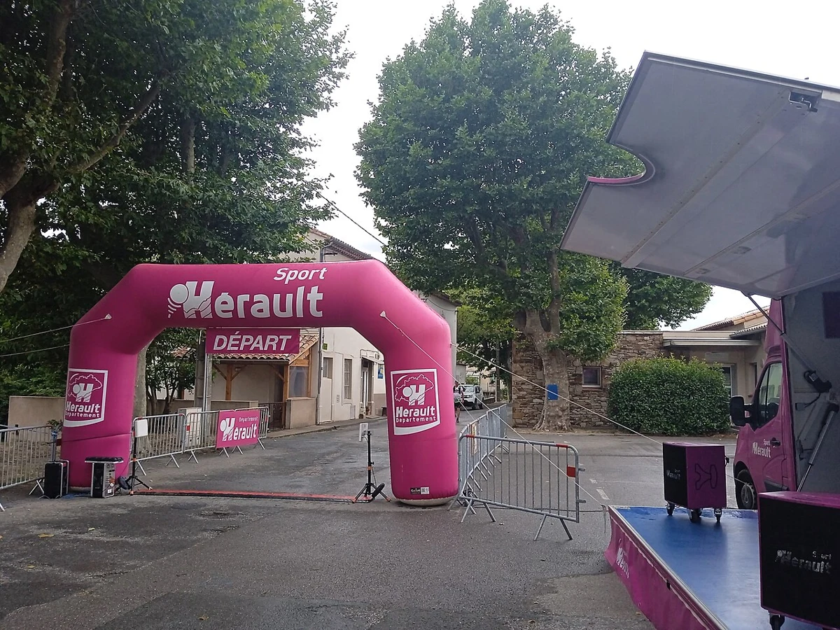
Ligne de départ du trail du Caroux à Mons-la-Trivalle.jpg
Event reference · not this event · Ligne de départ du trail du Caroux à Mons-la-Trivalle 2024. Real thematic reference photograph, not this local event, its attendees, announced performers, vehicles, vendors or current conditions.
Ligne de départ du trail du Caroux à Mons-la-Trivalle.jpg — Enrevseluj
Original photograph and rights record · CC BY-SA 4.0
Wikimedia-provided resized rendition; proportionally resized, orientation corrected if needed, and converted to WebP; no crop, AI generation or content changes. The resized photograph is shared under the same CC BY-SA 4.0 license.
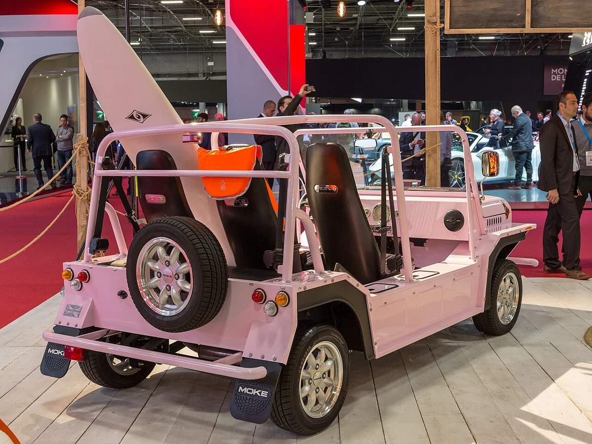
Paris Motor Show 2018, Paris (1Y7A1553).jpg
Event reference · not this event · Press days at Mondial Paris Motor Show 2018. Real thematic reference photograph, not this local event, its attendees, announced performers, vehicles, vendors or current conditions.
Paris Motor Show 2018, Paris (1Y7A1553).jpg — Matti Blume
Original photograph and rights record · CC BY-SA 4.0
Wikimedia-provided resized rendition; proportionally resized, orientation corrected if needed, and converted to WebP; no crop, AI generation or content changes. The resized photograph is shared under the same CC BY-SA 4.0 license.

Porsche, Paris Motor Show 2018, Paris (1Y7A1075).jpg
Event reference · not this event · Porsche 911 Speedster Concept at Mondial Paris Motor Show 2018. Real thematic reference photograph, not this local event, its attendees, announced performers, vehicles, vendors or current conditions.
Porsche, Paris Motor Show 2018, Paris (1Y7A1075).jpg — Matti Blume
Original photograph and rights record · CC BY-SA 4.0
Wikimedia-provided resized rendition; proportionally resized, orientation corrected if needed, and converted to WebP; no crop, AI generation or content changes. The resized photograph is shared under the same CC BY-SA 4.0 license.
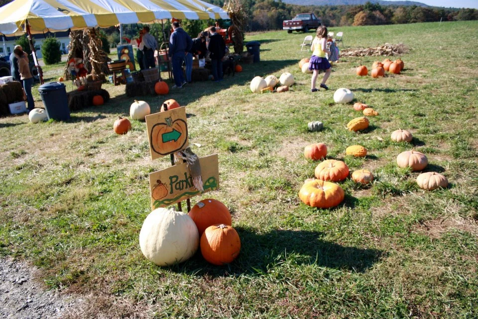
Pumpkin patch in Roaring Gap, NC.jpg
Event reference · not this event · A pumpkin patch in Roaring Gap, North Carolina. Real thematic reference photograph, not this local event, its attendees, announced performers, vehicles, vendors or current conditions.
Pumpkin patch in Roaring Gap, NC.jpg — Willthacheerleader18
Original photograph and rights record · CC0
Wikimedia-provided resized rendition; proportionally resized, orientation corrected if needed, and converted to WebP; no crop, AI generation or content changes.

Lamp-pumpkin-for-witch-1383167764 94.jpg
Event reference · not this event · Lamp pumpkin jack-o'-lantern. Real thematic reference photograph, not this local event, its attendees, announced performers, vehicles, vendors or current conditions.
Lamp-pumpkin-for-witch-1383167764 94.jpg — tOrange.biz
Original photograph and rights record · CC BY 4.0
Wikimedia-provided resized rendition; proportionally resized, orientation corrected if needed, and converted to WebP; no crop, AI generation or content changes.

Lit Jack-o'-lantern glowing menacingly.jpg
Event reference · not this event · Lit Jack-o'-lantern glowing menacingly.. Real thematic reference photograph, not this local event, its attendees, announced performers, vehicles, vendors or current conditions.
Lit Jack-o'-lantern glowing menacingly.jpg — huk_flickr
Original photograph and rights record · CC BY 2.0
Wikimedia-provided resized rendition; proportionally resized, orientation corrected if needed, and converted to WebP; no crop, AI generation or content changes.
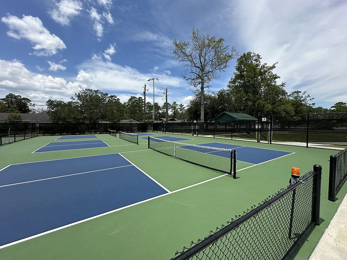
Harry B. Anderson Tennis Center - Pickleball Courts 1-3.jpg
Event reference · not this event · Photo taken from the east side of the courts facing west, this image is of pickleball courts 1, 2, and 3 at the Harry B. Anderson Tennis Center in Valdosta, Georgia, United States.. Real thematic reference photograph, not this local event, its attendees, announced performers, vehicles, vendors or current conditions.
Harry B. Anderson Tennis Center - Pickleball Courts 1-3.jpg — GA Kevin
Original photograph and rights record · CC0
Wikimedia-provided resized rendition; proportionally resized, orientation corrected if needed, and converted to WebP; no crop, AI generation or content changes.

Mercury, Venus and the Moon Align.jpg
Event reference · not this event · A conjunction of Mercury and Venus, aligned above the Moon, as seen from the Paranal Observatory.. Real thematic reference photograph, not this local event, its attendees, announced performers, vehicles, vendors or current conditions.
Mercury, Venus and the Moon Align.jpg — ESO/Y. Beletsky
Original photograph and rights record · CC BY 4.0
Wikimedia-provided resized rendition; proportionally resized, orientation corrected if needed, and converted to WebP; no crop, AI generation or content changes.
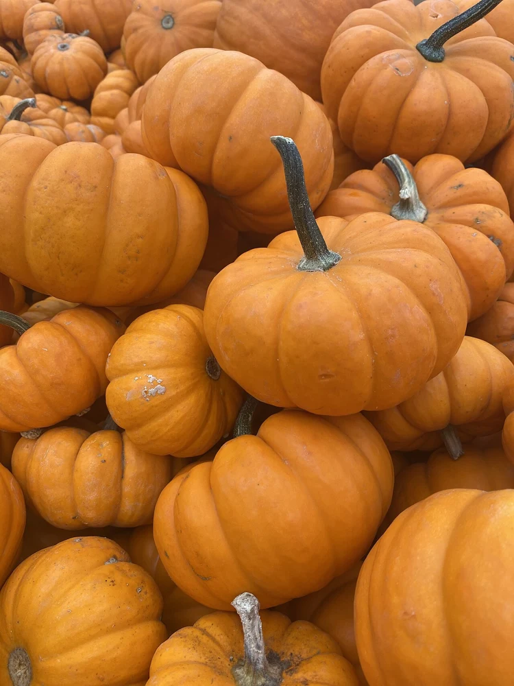
PumIMG 0461.jpg
Event reference · not this event · pumpkin. Real thematic reference photograph, not this local event, its attendees, announced performers, vehicles, vendors or current conditions.
PumIMG 0461.jpg — Boomerdoge
Original photograph and rights record · CC BY-SA 4.0
Wikimedia-provided resized rendition; proportionally resized, orientation corrected if needed, and converted to WebP; no crop, AI generation or content changes. The resized photograph is shared under the same CC BY-SA 4.0 license.
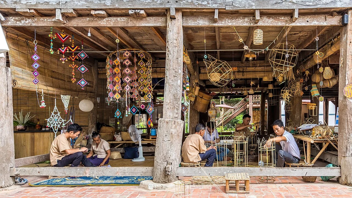
Craftmen at work, bamboo basket weaving and textile mobile sculptures, in Heuan Chan heritage house, Luang Prabang, Laos.jpg
Event reference · not this event · Craftmen at work, wicker furniture makers, bamboo basket weaving, textile crafts and suspended mobile sculptures, interior view of the wooden Heuan Chan heritage house, stilt building with wooden ceiling, bamboo furniture and "sudare" (bamboo venetian blinds), Luang Prabang, Laos.. Real thematic reference photograph, not this local event, its attendees, announced performers, vehicles, vendors or current conditions.
Craftmen at work, bamboo basket weaving and textile mobile sculptures, in Heuan Chan heritage house, Luang Prabang, Laos.jpg — Basile Morin
Original photograph and rights record · CC BY-SA 4.0
Wikimedia-provided resized rendition; proportionally resized, orientation corrected if needed, and converted to WebP; no crop, AI generation or content changes. The resized photograph is shared under the same CC BY-SA 4.0 license.
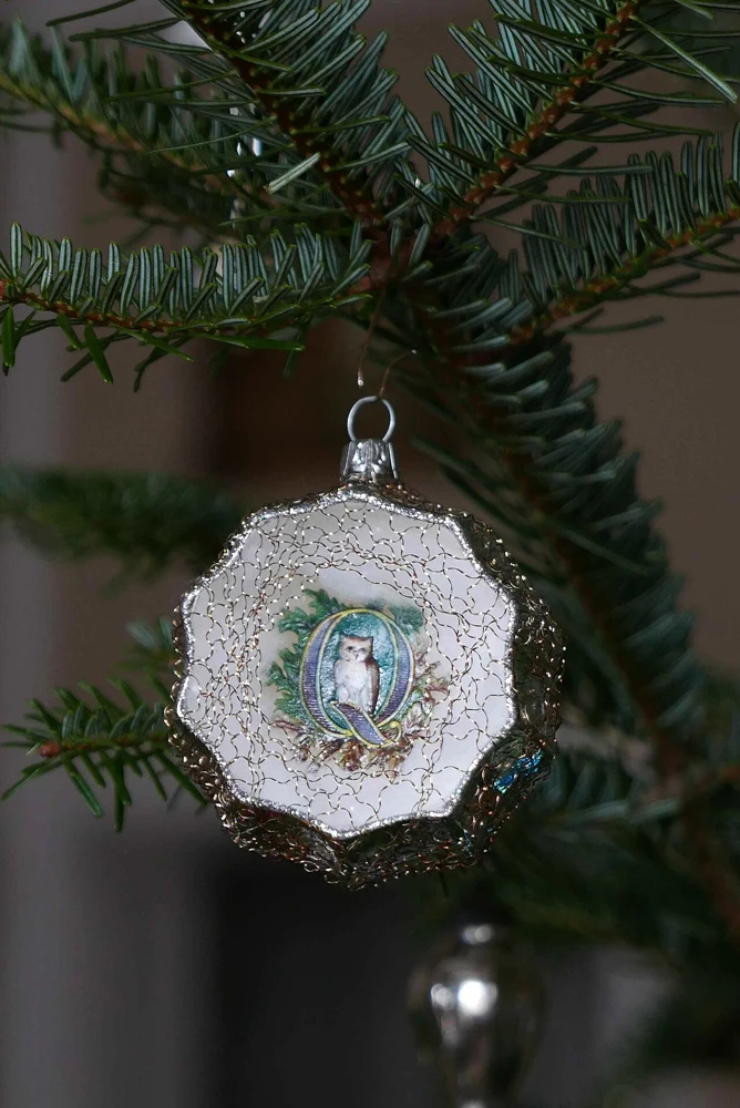
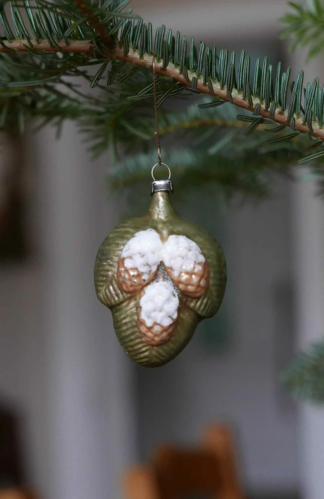
Weihnachten 2020 Christbaumschmuck 04.jpg
Event reference · not this event · Weihnachten 2020: Nostalgischer Christbaumschmuck. Real thematic reference photograph, not this local event, its attendees, announced performers, vehicles, vendors or current conditions.
Weihnachten 2020 Christbaumschmuck 04.jpg — Geolina163
Original photograph and rights record · CC BY-SA 4.0
Wikimedia-provided resized rendition; proportionally resized, orientation corrected if needed, and converted to WebP; no crop, AI generation or content changes. The resized photograph is shared under the same CC BY-SA 4.0 license.
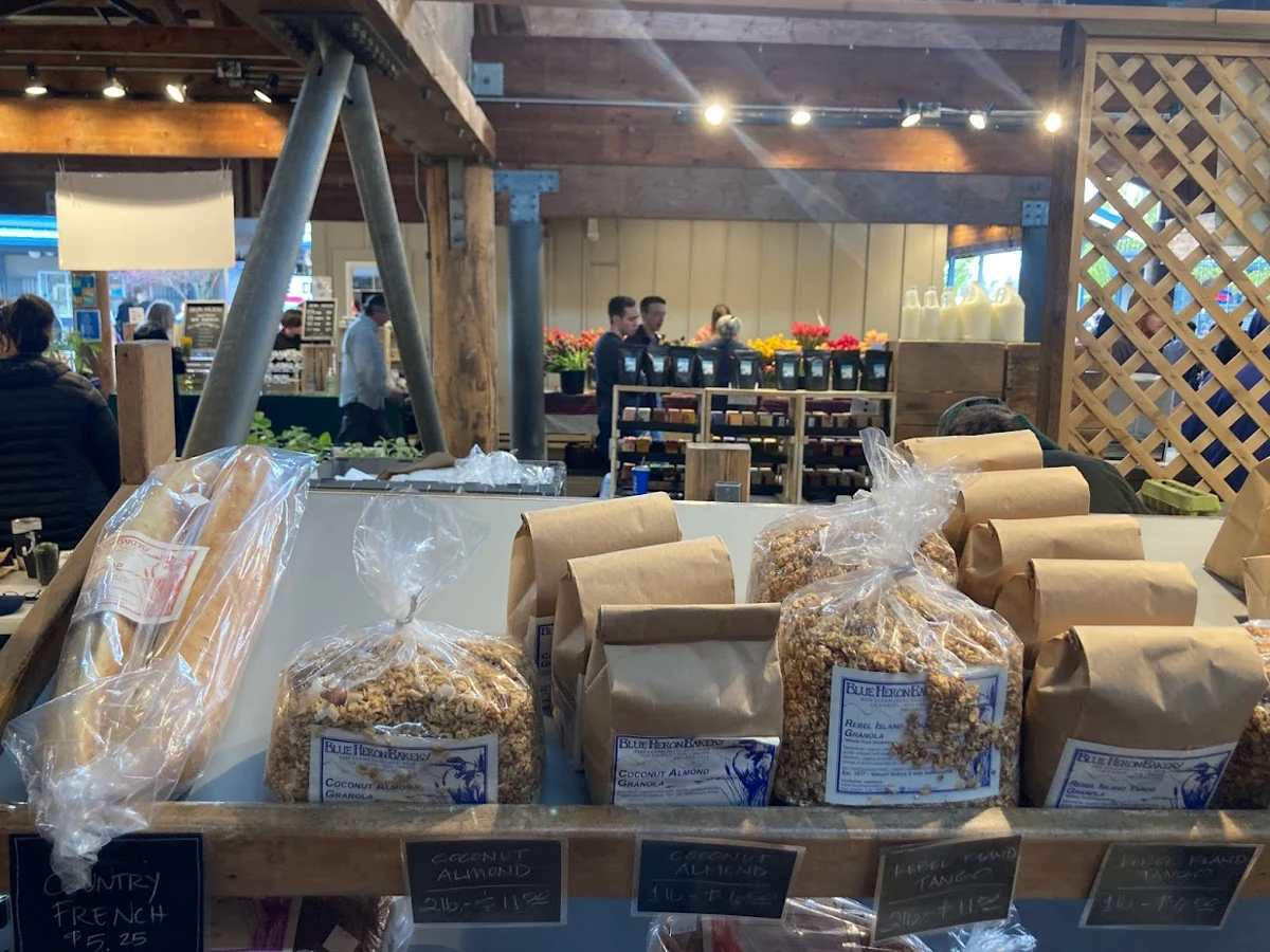
Olympia Farmers Market 01.jpg
Event reference · not this event · A display of bags of granola, with flowers and people in the background.. Real thematic reference photograph, not this local event, its attendees, announced performers, vehicles, vendors or current conditions.
Olympia Farmers Market 01.jpg — Mattsjc
Original photograph and rights record · CC BY-SA 4.0
Wikimedia-provided resized rendition; proportionally resized, orientation corrected if needed, and converted to WebP; no crop, AI generation or content changes. The resized photograph is shared under the same CC BY-SA 4.0 license.

Muse at Milton Keynes Bowl 2023 4.jpg
Event reference · not this event · Muse at Milton Keynes Bowl 2023. Real thematic reference photograph, not this local event, its attendees, announced performers, vehicles, vendors or current conditions.
Muse at Milton Keynes Bowl 2023 4.jpg — Mewhen123
Original photograph and rights record · CC BY 4.0
Wikimedia-provided resized rendition; proportionally resized, orientation corrected if needed, and converted to WebP; no crop, AI generation or content changes.
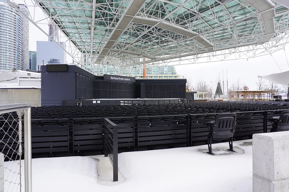
Harbourfront Centre Concert Stage offseason.jpg
Event reference · not this event · Harbourfront Centre Concert Stage seen in February 2026, with snow in the foreground and on the roof. Real thematic reference photograph, not this local event, its attendees, announced performers, vehicles, vendors or current conditions.
Harbourfront Centre Concert Stage offseason.jpg — Qviri
Original photograph and rights record · CC BY-SA 4.0
Wikimedia-provided resized rendition; proportionally resized, orientation corrected if needed, and converted to WebP; no crop, AI generation or content changes. The resized photograph is shared under the same CC BY-SA 4.0 license.
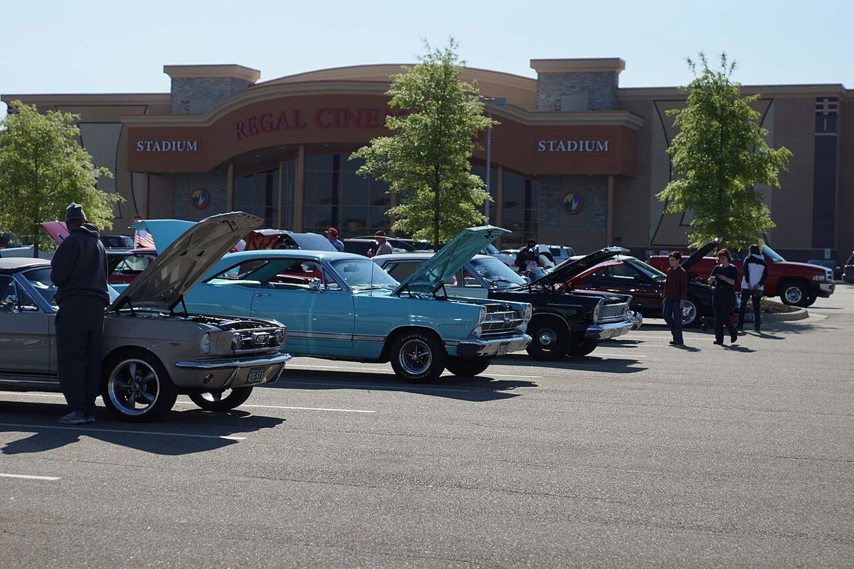
Car Show at Regal Westchester Commons.jpg
Event reference · not this event · Car Show at Regal Westchester Commons. Real thematic reference photograph, not this local event, its attendees, announced performers, vehicles, vendors or current conditions.
Car Show at Regal Westchester Commons.jpg — jjmusgrove
Original photograph and rights record · CC BY 2.0
Wikimedia-provided resized rendition; proportionally resized, orientation corrected if needed, and converted to WebP; no crop, AI generation or content changes.
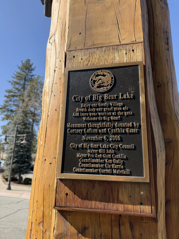
Big Bear California 02.jpg
Event reference · not this event · Ciudad en el sur de California. Se encuentra a orillas del lago Big Bear Lake. Es conocida por el complejo de esquí Bear Mountain,. Real thematic reference photograph, not this local event, its attendees, announced performers, vehicles, vendors or current conditions.
Big Bear California 02.jpg — WendyAvilesR
Original photograph and rights record · CC BY-SA 4.0
Proportionally resized, orientation corrected if needed, and converted to WebP; no crop, AI generation or content changes. The resized photograph is shared under the same CC BY-SA 4.0 license.
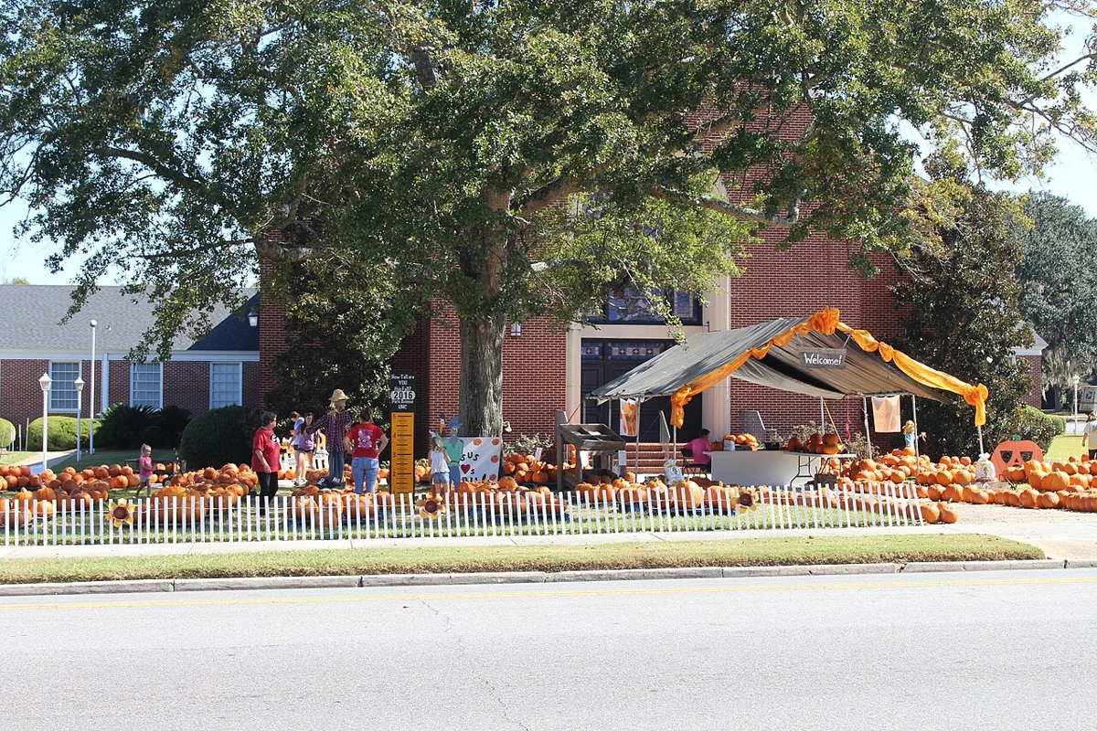
Park Avenue United Methodist Church, Valdosta pumpkin patch 2016 1.jpg
Event reference · not this event · Park Avenue United Methodist Church, Valdosta pumpkin patch 201, Lowndes County, Georgia. Real thematic reference photograph, not this local event, its attendees, announced performers, vehicles, vendors or current conditions.
Park Avenue United Methodist Church, Valdosta pumpkin patch 2016 1.jpg — Michael Rivera
Original photograph and rights record · CC BY-SA 4.0
Wikimedia-provided resized rendition; proportionally resized, orientation corrected if needed, and converted to WebP; no crop, AI generation or content changes. The resized photograph is shared under the same CC BY-SA 4.0 license.
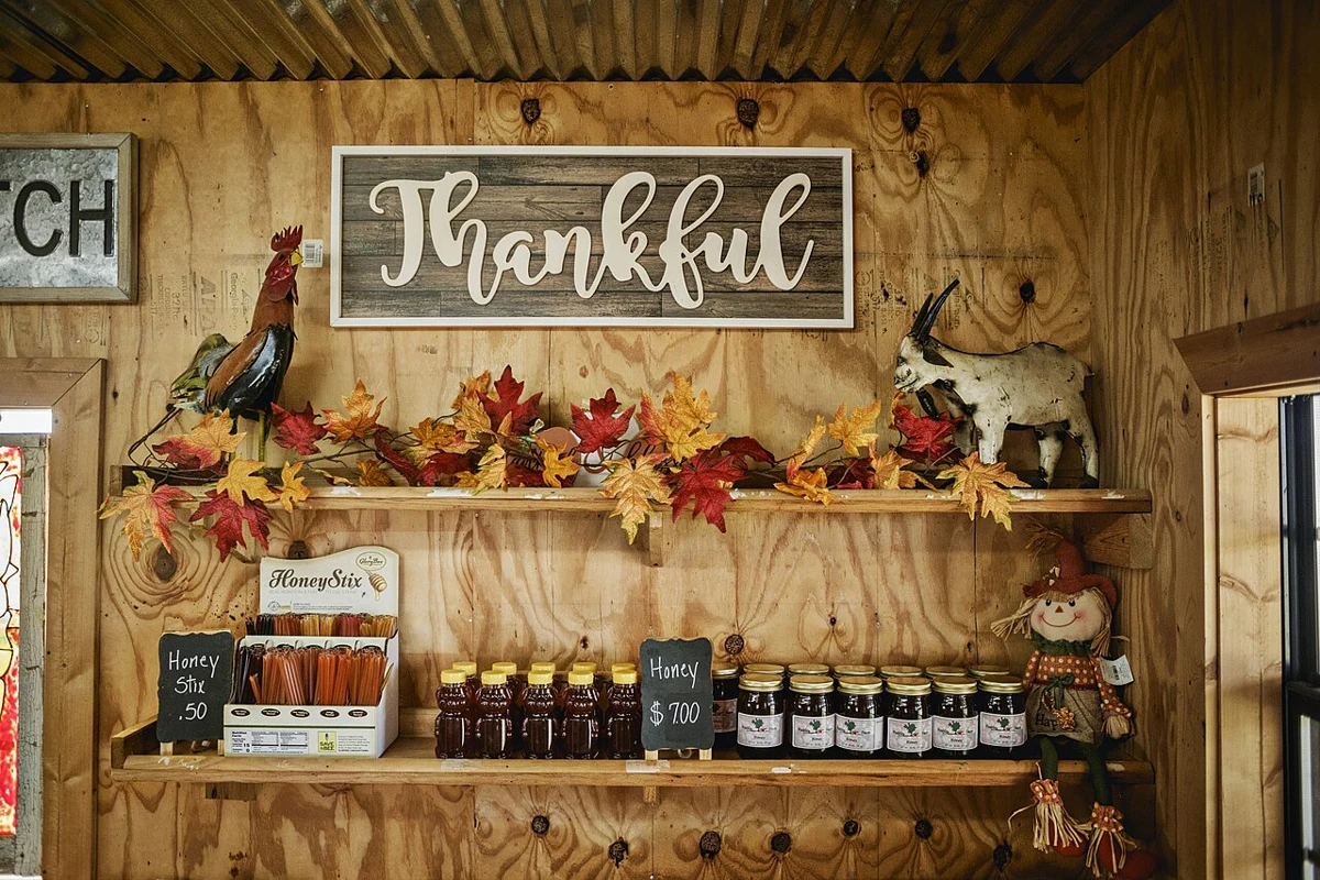
Agritourism in Arkansas (20200925-FPAC-PeeblesFarm-013).jpg
Event reference · not this event · Katie and Dallas Peebles, owners and operators of Peebles Farm Pumpkin Patch and Corn Maze in Augusta, Ark., the largest certified organic pumpkin patch operation in Arkansas. The Peebles bought the farm in 1996, and has transitioned to agritourism over the last 16 years.
The Peebles have 358-acres enrolled in the Conservation Stewardship Program (CSP), administered by USDA’s Natural Resources Conservation Service (NRCS), to promote pollinator habitat on their operation.
USDA/FPAC photo by Christopher Willis. Real thematic reference photograph, not this local event, its attendees, announced performers, vehicles, vendors or current conditions.
Agritourism in Arkansas (20200925-FPAC-PeeblesFarm-013).jpg — USDAgov
Original photograph and rights record · Public domain
Wikimedia-provided resized rendition; proportionally resized, orientation corrected if needed, and converted to WebP; no crop, AI generation or content changes.
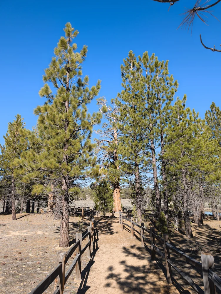
Gold Fever Trail, Big Bear, California - 53739706978.jpg
Event reference · not this event · Take a journey into the 1860s when eager prospectors from across the country - and some internationals - flocked to Big Bear Valley in search of the 'mother lode'. Welcome to Gold Rush country!
The historic Gold Fever Trail is a self-guided driving tour through Holcomb Valley, the center of Big Bear's gold rush. Discover the ruins and remains of Belleville, the once lively miners' town. With a little imagination you can picture the old-time miners with their gold pans in the creeks, their stamp mills in the field, their rowdy saloons and their wild nights. It was truly the Wild West.
source: www.bigbear.com/blog/explore-gold-fever-trail/. Real thematic reference photograph, not this local event, its attendees, announced performers, vehicles, vendors or current conditions.
Gold Fever Trail, Big Bear, California - 53739706978.jpg — RuggyBearLA
Original photograph and rights record · CC BY 2.0
Wikimedia-provided resized rendition; proportionally resized, orientation corrected if needed, and converted to WebP; no crop, AI generation or content changes.
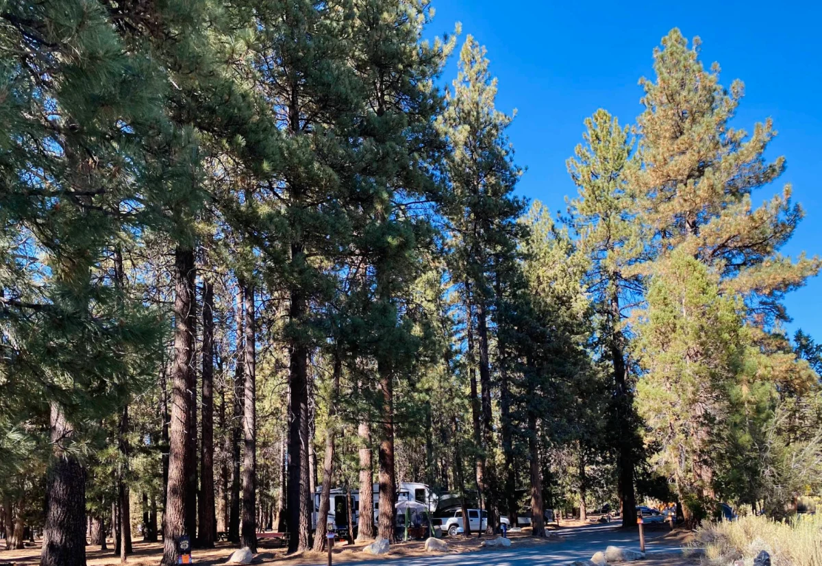
Serrano Campground Site 118
Event reference · not this event · Serrano Campground Site 118. Real thematic reference photograph, not this local event, its attendees, announced performers, vehicles, vendors or current conditions.
Serrano Campground Site 118 — Forest Service
Original photograph and rights record · Public domain in the United States — U.S. Forest Service work
Proportionally resized, orientation corrected if needed, and converted to WebP; no crop, AI generation or content changes.
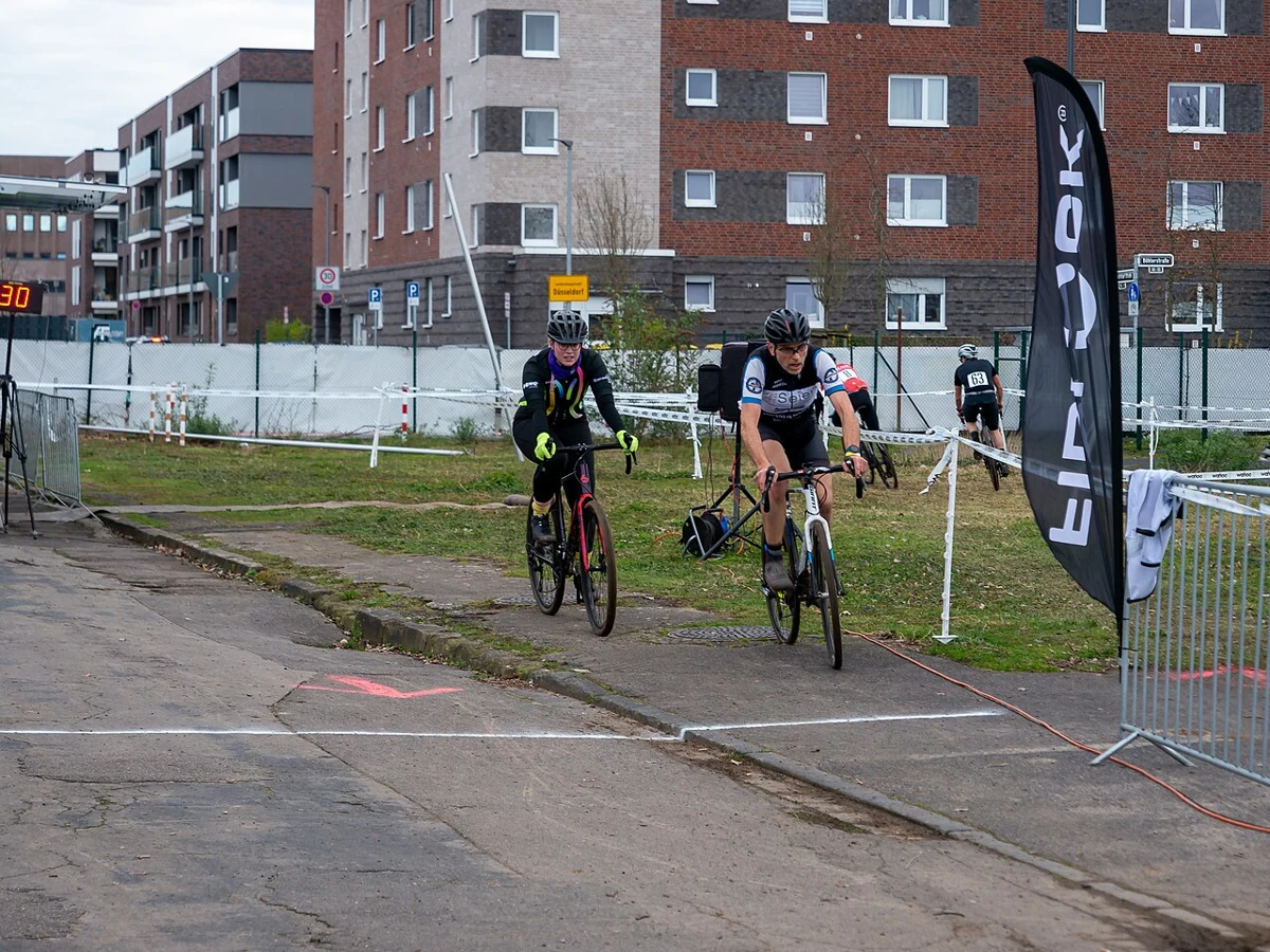
Cyclingworld Cyclocross Race 2024, Meerbusch (P1170944).jpg
Event reference · not this event · Cyclingworld Cyclocross Race 2024. Real thematic reference photograph, not this local event, its attendees, announced performers, vehicles, vendors or current conditions.
Cyclingworld Cyclocross Race 2024, Meerbusch (P1170944).jpg — Matti Blume
Original photograph and rights record · CC BY-SA 4.0
Wikimedia-provided resized rendition; proportionally resized, orientation corrected if needed, and converted to WebP; no crop, AI generation or content changes. The resized photograph is shared under the same CC BY-SA 4.0 license.
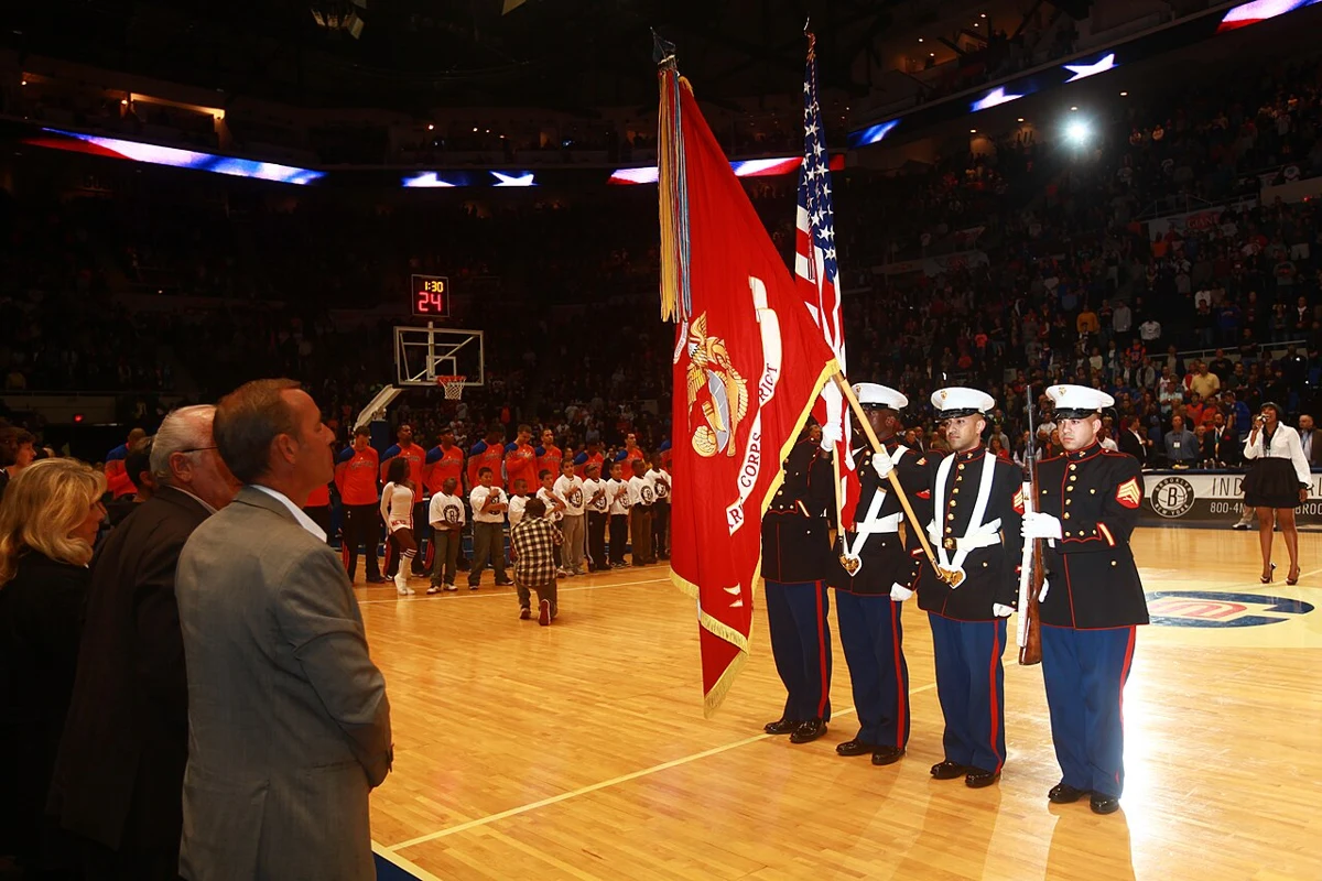
1MCD Marines present the colors at Nets vs. Knicks game 121024-M-BO197-036.jpg
Event reference · not this event · Cpl. Caleb Gomez, Sgt. Malik King, Sgt. Mohamed Mohamed, and Sgt. Edwin Ramirez present the colors before a Brooklyn Nets vs. New York Knicks game at Nassau Veterans Memorial Coliseum in Uniondale, N.Y., Oct. 24. The Marines are members of the 1st Marine Corps District based in Garden City, N.Y.
Unit: 1st Marine Corps District
DVIDS Tags: Brooklyn; New York Knicks; New York; color guard; NBA; community relations; colors; recruiting; 1MCD; 1st Marine Corps District; Brooklyn Nets. Real thematic reference photograph, not this local event, its attendees, announced performers, vehicles, vendors or current conditions.
1MCD Marines present the colors at Nets vs. Knicks game 121024-M-BO197-036.jpg — Staff Sgt. Juan Vara
Original photograph and rights record · Public domain
Wikimedia-provided resized rendition; proportionally resized, orientation corrected if needed, and converted to WebP; no crop, AI generation or content changes.

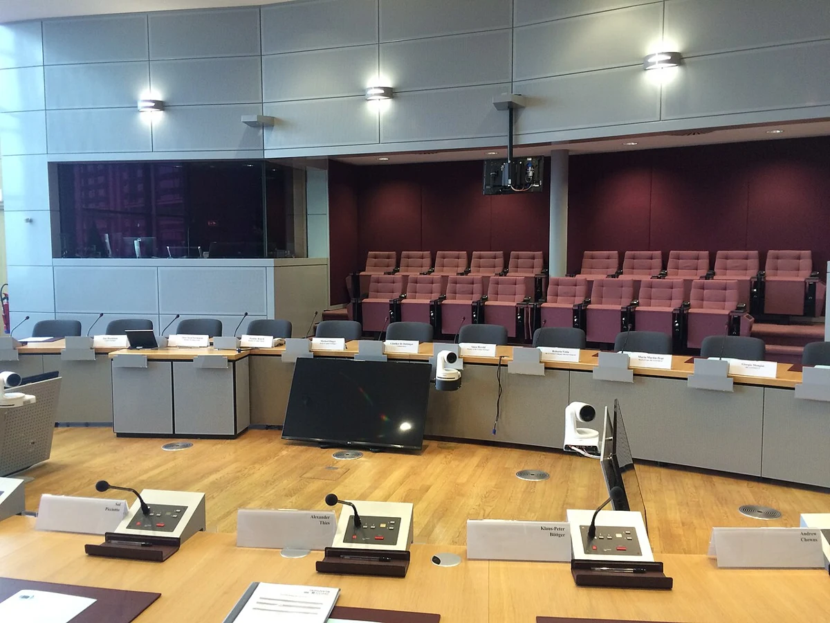
United Nations Geneva conference room.jpg
Event reference · not this event · Conference room XVIII in building E at the United Nations in Geneva. Real thematic reference photograph, not this local event, its attendees, announced performers, vehicles, vendors or current conditions.
United Nations Geneva conference room.jpg — Unnerving duck
Original photograph and rights record · CC BY-SA 4.0
Wikimedia-provided resized rendition; proportionally resized, orientation corrected if needed, and converted to WebP; no crop, AI generation or content changes. The resized photograph is shared under the same CC BY-SA 4.0 license.
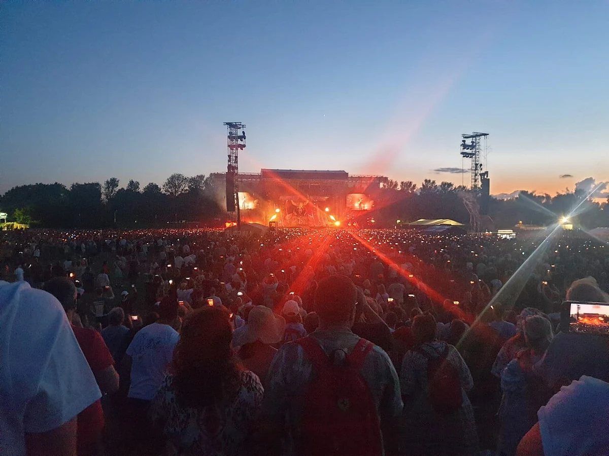
Muse at Milton Keynes Bowl 2023 11.jpg
Event reference · not this event · Muse at Milton Keynes Bowl 2023. Real independent concert photograph from the event named above. Entertainment reference only; not Sessions Retreat, its audience, acts or announced lineup.
Muse at Milton Keynes Bowl 2023 11.jpg — Mewhen123
Original photograph and rights record · CC BY 4.0
Wikimedia-provided resized rendition; proportionally resized, orientation corrected if needed, and converted to WebP; no crop, AI generation or content changes.

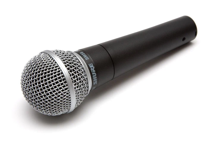
Studio microphone with pop-shield crop.jpg
Event reference · not this event · Studio condensor microphone with pop shield. Real microphone reference photograph; not Stillwells Restaurant, its actual equipment, guests or event.
Studio microphone with pop-shield crop.jpg — Galak76
Original photograph and rights record · CC BY-SA 3.0
Wikimedia-provided resized rendition; proportionally resized, orientation corrected if needed, and converted to WebP; no crop, AI generation or content changes. The resized photograph is shared under the same CC BY-SA 3.0 license.
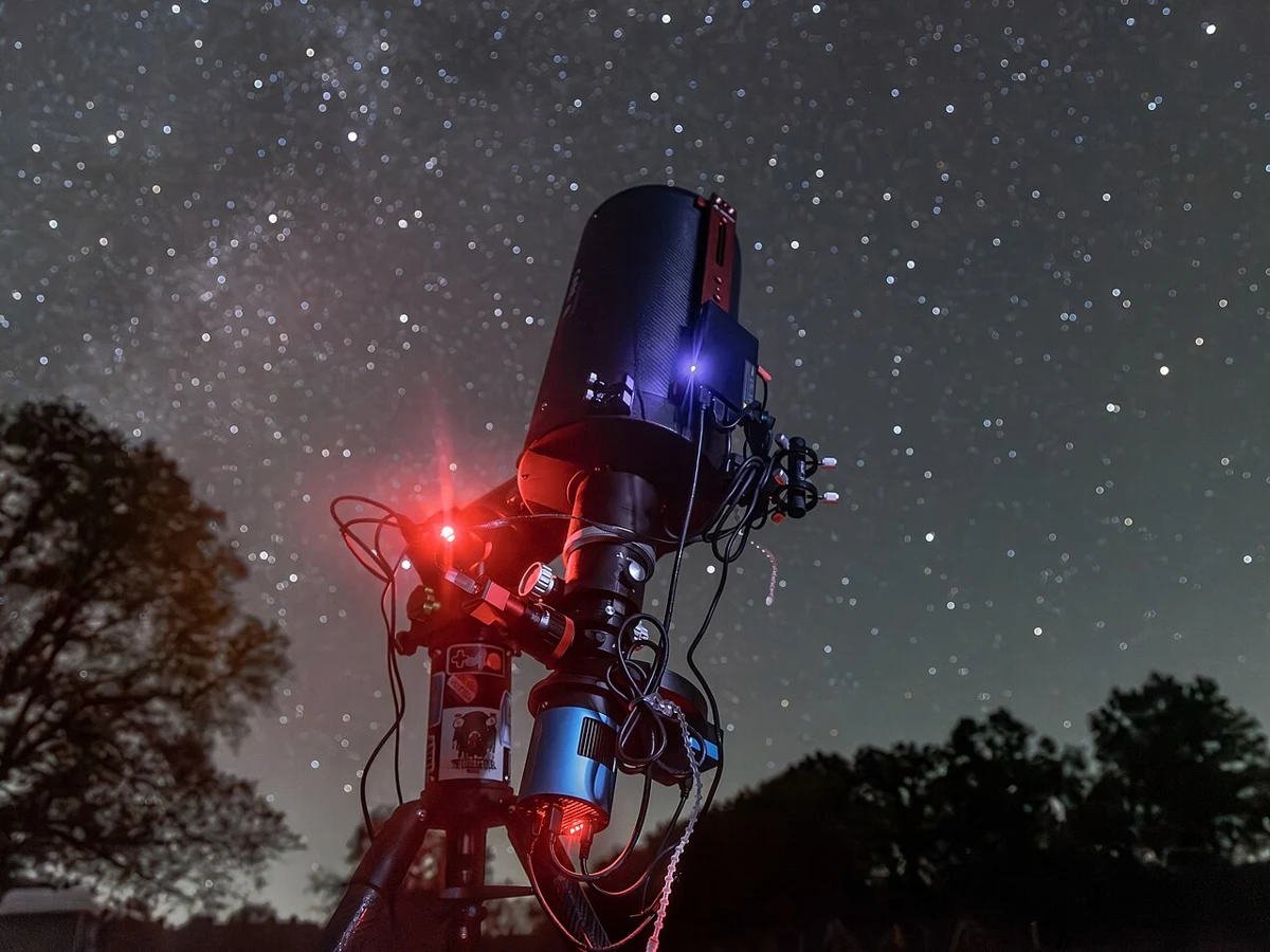
Ritchey–Chrétien at Kickapoo Valley Reserve 2-b.jpg
Event reference · not this event · I did a photo shoot with my rig at Kickapoo Valley Reserve in southewest Wisconsin while acquiring broadband data on IC 10. You can see the summer Milky Way setting with the bright stars of Cygnus on the upper left, and the Little Dipper is visible to the upper right.
Setup
OTA: Apertura CarbonStar RC8 (203 mm f/8 Ritchey–Chrétien)
Mount: Sky-Watcher Wave 150i (strain wave German equatorial mount)
Camera: Touptek ATR533M (Sony IMX533 monochrome CMOS sensor) with tilt plate
Filter wheel: Touptek AFW-M (8-position wheel supporting 1.25" and 36 mm filters)
Filters: Touptek 1.25" LRGB, Touptek 6.5 nm SHO, SVBONY SV183 685 nm IR pass
Control: MeLe Quieter 4C running NINA, GS Server, PHD2, and ASTAP
Other accessories: Z-Bolt 525 nm laser in right Synta finder bracket
Target: IC 10 (irregular starburst galaxy in Cassiopeia. Real archived astronomy photograph from the location named above, not a Big Bear event or forecast of the current sky.
Ritchey–Chrétien at Kickapoo Valley Reserve 2-b.jpg — Photo Brainandforce, edited from raw by Cart
Original photograph and rights record · CC BY 4.0
Wikimedia-provided resized rendition; proportionally resized, orientation corrected if needed, and converted to WebP; no crop, AI generation or content changes.
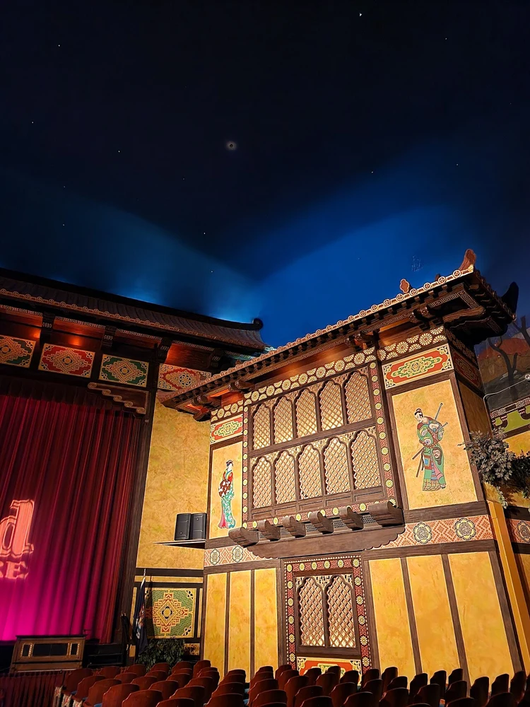
Redford Theatre auditorium 3.jpg
Event reference · not this event · Interior of the Redford Theatre auditorium in Detroit. Real Redford Theatre interior photograph. Theatre reference only; not the Big Bear Performing Arts Center, this production, cast or seating plan.
Redford Theatre auditorium 3.jpg — Saul Vielmetti
Original photograph and rights record · CC BY-SA 4.0
Wikimedia-provided resized rendition; proportionally resized, orientation corrected if needed, and converted to WebP; no crop, AI generation or content changes. The resized photograph is shared under the same CC BY-SA 4.0 license.

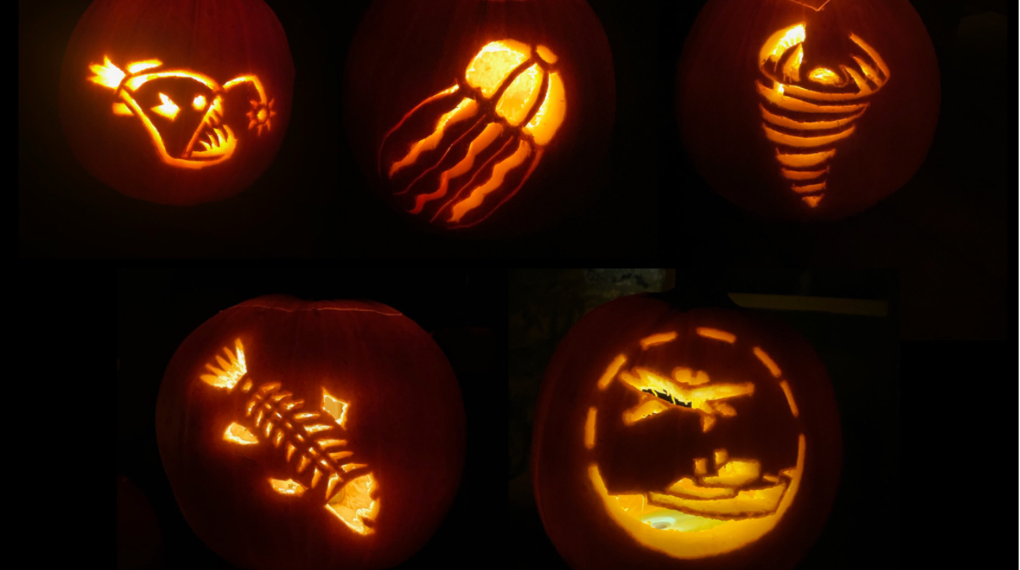
Jack-o-lantern pumpkins.jpg
Event reference · not this event · 잭-오-랜턴의 모습. Real jack-o-lantern photograph. Halloween reference only; not Swim Beach Park, its decorations or either event.
Jack-o-lantern pumpkins.jpg — Petr Kratochvil
Original photograph and rights record · Public domain
Wikimedia-provided resized rendition; proportionally resized, orientation corrected if needed, and converted to WebP; no crop, AI generation or content changes.